There is a potential situation brewing where two large storms might interact, causing significant effects on certain areas of the US.
The tropical season in the Atlantic has been less active this year compared to previous years, with only seven named storms recorded by September 22.
The Met Office notes that a hurricane is given a name once it attains tropical storm strength, which means winds of 34 knots.
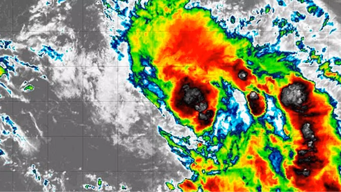
Now, the eighth named hurricane of this season has emerged, identified as Tropical Storm Humberto.
This storm developed on September 24 and is anticipated to follow a curved trajectory between Bermuda and the East Coast of America, according to AccuWeather.
In addition, another storm, referred to as Invest 94L, is projected to become the ninth named storm of the year and will be called Storm Imelda.
Fox Weather explains that an ‘invest’ is a term used by the National Hurricane Center to identify areas under investigation for potential development into a tropical depression or tropical storm within the next seven days.
The two storms are expected to impact the East Coast and the Bahamas.
FOX Weather Hurricane Specialist Bryan Norcross advised, “There are too many imaginable scenarios to enumerate, but the bottom line is that everyone in the Bahamas and along the East Coast from Florida to the mid-Atlantic should plan to stay informed this weekend.”
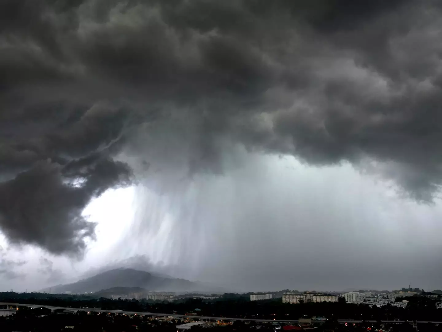
Even if Invest 94L stays offshore, parts of the US may experience flooding.
Michael Lowry, a hurricane specialist at WPLG-TV, stated via USA Today, “Even if 94L stays weak and offshore next week, the upper-level pattern with a cutoff low pinching off over the Tennessee Valley could funnel abundant tropical-laden air into the Carolinas and parts of the southern and central Appalachians and Mid-Atlantic for the start of next week.”
He further cautioned about an ‘enhanced flood threat for these areas’ that could commence over the weekend and emphasized the importance of monitoring the situation.
Concerns are growing that Tropical Storm Humberto and Invest 94L might come into contact through the ‘Fujiwhara Effect’.
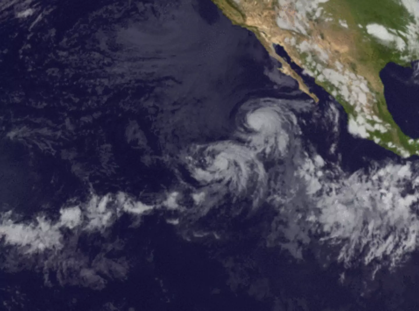
The National Weather Service describes this phenomenon: “When two hurricanes spinning in the same direction pass close enough to each other, they begin an intense dance around their common center.”
“If one hurricane is much stronger than the other, the smaller one will orbit it and eventually merge into its vortex to be absorbed.”
“Two storms closer in strength can gravitate towards each other until they reach a common point and merge, or merely spin each other around for a while before shooting off on their own paths.”
Occasionally, when storms collide, they can combine to form one larger storm rather than remaining as two smaller ones.
The ‘Fujiwhara Effect’ requires the storms to be within 900 miles of each other to occur.
This phenomenon was observed in 2017 between Hurricane Irwin and Hurricane Hilary, which collided but eventually dissipated over the ocean.