
A severe ‘lake effect’ storm is anticipated to bring up to 30 inches of snow to various parts of the United States this week.
Although it won’t result in a White Christmas, many areas might experience a snowy start to the New Year.
Officials have issued a lake effect snow warning for regions in New York, Michigan, and Pennsylvania, with snowfall potentially reaching 30 inches by this evening (Tuesday, December 30).
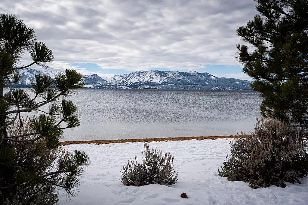
This heavy snowfall is expected as cold air passes over the relatively warmer Great Lakes waters.
The storm is predicted to cause major disruptions to post-holiday and New Year travel, with strong winds, poor visibility, and hazardous driving conditions likely.
For those planning to travel this New Year, caution is advised, and checking the weather forecast before traveling is recommended.
The lake effect snow phenomenon occurs when Arctic air travels over the Great Lakes with gusty northwest winds.
This cold air picks up moisture from the warmer lake waters.
Upon reaching land, the air releases this moisture as heavy, localized snow bands, as reported by Fox News.
A dip in the jet stream is maintaining this northwest flow, causing snow to repeatedly affect the same regions.
Further disturbances in the jet stream are expected to increase snowfall throughout the week.
A clipper system, a fast-moving, low-pressure winter storm from Canada, is forecasted for late New Year’s Eve into New Year’s Day, potentially increasing snowfall, especially in western New York.

The areas expected to be heavily impacted by the extreme weather, particularly those downwind of Lakes Erie and Ontario, include regions south of Buffalo, Syracuse, Onondaga County, Tug Hill Plateau, and Erie, Pennsylvania.
These places could experience between 12 and 18 inches of snow, with some localized spots receiving up to 30 inches.
Lighter snowfall of three to five inches is anticipated along the eastern Lake Michigan shores, parts of upstate New York, and northwestern Pennsylvania.
Even New York City and Boston might see lighter ‘decorative’ snow.
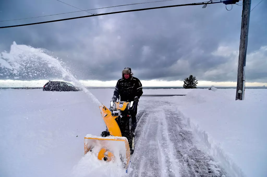
The risks associated with this heavy lake effect snow include wind gusts of 50 to 70 mph near the shores.
Whiteout conditions and significantly reduced visibility also pose hazards.
Coastal flooding is a possibility due to strong winds pushing lake water inland, and power outages could result from the wind and heavy snow.
In Onondaga County, Syracuse, County Executive Ryan McMahon stated that if snow falls faster than one to two inches per hour, county snowplows might be unable to keep up, even at full capacity, as reported by Syracuse.com.
McMahon noted that a ‘no unnecessary travel’ declaration might be issued in such circumstances.
In a worst-case scenario, a complete travel ban could be enforced.