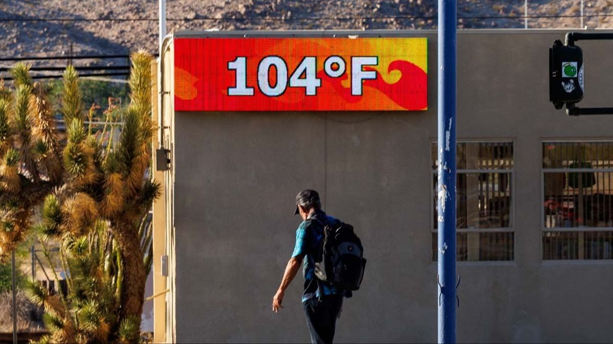
Weather experts are warning that a potential ‘super El Niño’ could help drive one of the hottest summers ever recorded.
Forecasters say temperatures in the US and many other parts of the world could climb sharply as the pattern strengthens.
El Niño occurs when warmer-than-usual surface waters spread across parts of the Pacific Ocean, shifting atmospheric circulation and altering weather around the globe. These changes can influence rainfall, heat, and storm activity, and may also affect seasonal patterns in the Atlantic.
Although El Niño is a natural climate cycle, researchers are still examining how it might interact with long-term global warming.
On its own, the event isn’t caused by climate change. However, many scientists suggest a warmer planet could intensify El Niño episodes, which could amplify the severity of heat, drought, flooding, and other extremes when the cycle takes hold.
The concern is that rising baseline temperatures already increase the likelihood of extreme conditions—so when El Niño overlaps with climate change, the combined effect can worsen impacts and raise the odds of record-breaking heat.

The most recent very strong El Niño occurred in 2015 and 2016, an episode linked to widespread damage affecting ecosystems and communities. Wildfires, flooding, drought conditions, and major disruptions to farming were among the consequences reported at the time.
Imperial College London has estimated that the fallout from those events may have affected around 60 million people.
With another warm season approaching, some scientists believe this summer could challenge historical temperature records, and estimates suggest there is a 25 percent chance of a ‘super El Niño’.
A separate update from the National Oceanic and Atmospheric Administration’s Climate Prediction Center also indicates a 62 percent chance that El Niño will develop between June and August and continue through the end of the year.
So what exactly qualifies an event as a ‘super’ El Niño?

It generally refers to cases where ocean surface temperatures rise at least four degrees above the long-term average in key areas of the tropical Pacific.
Right now, Fox Weather reports that Pacific surface temperatures are roughly two to three degrees above average.
In a recent paper, Columbia climatologist Dr. James Hansen wrote that ‘2026 will be the warmest year in the period of instrumental temperature measurements’.
The prior record-holder for the hottest year was 2024.
Dr Hansen also said that ‘2027 will be still hotter’.
El Niño and La Niña represent the warm and cool phases of a broader climate cycle in the tropical Pacific known as the El Niño-Southern Oscillation, or the ENSO cycle.
Because the ocean and atmosphere continuously influence each other, increases in ocean temperatures can ripple outward—reshaping weather patterns and affecting conditions worldwide.