Meteorologists are cautioning that the El Niño developing this year could intensify into a rare “Super El Niño,” a stronger-than-usual version of the climate pattern with the potential for bigger impacts.
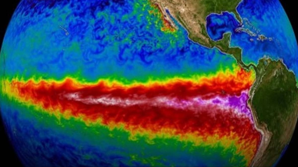
El Niño occurs when sea surface temperatures rise across parts of the tropical Pacific, a shift that can influence weather across the tropics and subtropics and, at times, ripple into more temperate regions too.
Although El Niño is a natural cycle rather than something directly caused by climate change, a warmer world can amplify its consequences for people and ecosystems when it takes hold.
The scale of El Niño varies from event to event, and so does the way it reshapes weather patterns through the year.
Those changes can influence where storms track and can also affect hurricane season in some areas, including parts of the United States.
AccuWeather meteorologists say the current setup has the potential to become a Super El Niño—an outcome that could increase the likelihood of extreme weather in multiple regions.
Paul Pastelok, a senior meteorologist at AccuWeather, outlined what that could mean for the US in the months ahead.
“An El Niño is not a storm,” he said. “It does not affect you directly. It is a cycle that contributes, like many other factors, to produce weather changes and sometimes extremes.”
In other words, El Niño is better understood as a background shift in ocean-atmosphere conditions—one that can set the stage for more intense or unusual weather, including storms and hurricanes.
A Super El Niño is the term used when those influences become especially strong.
Forecasters monitor a key area of the tropical Pacific known as Niño 3.4 by comparing three-month average sea surface temperatures with long-term averages. A Super El Niño is typically associated with temperatures rising by about 1.5C above that baseline.
The National Oceanic and Atmospheric Administration’s (NOAA) Prediction Center has indicated there is roughly a two-in-three chance that this El Niño peaks as strong or very strong.
So what could a Super El Niño bring?
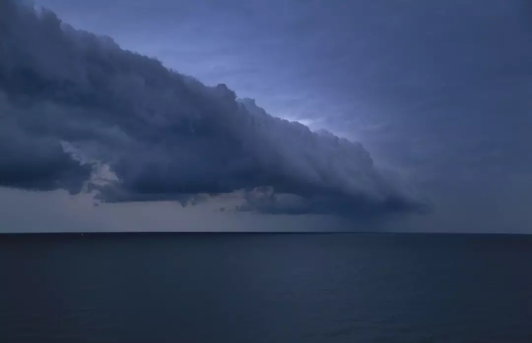
Pastelok said it could raise the odds of severe conditions, explaining: “The U.S. could see a more active southern storm track this winter, including wetter conditions across parts of the Southern states, warmer conditions across portions of the northern US and an increased risk of weather extremes.”
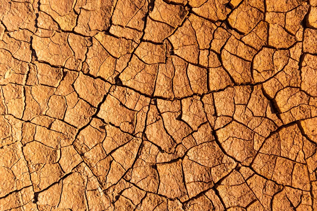
The effects can differ dramatically by region, ranging from drought and wildfire risk in some places to heavy rain, downpours, and flooding in others.
And while El Niño itself isn’t driven by climate change, a powerful event can add extra heat to an already-warming globe—meaning global temperatures pushed up by human activity could be driven higher still, especially if the El Niño is stronger.
El Niño is part of a recurring cycle tied to ocean surface temperatures that swings between warmer and cooler phases.
The warm phase is called El Niño (Spanish for “the boy”), while the cool phase is La Niña (“the girl”).
Chad Merrill, also a senior meteorologist at AccuWeather, described the typical summer pattern in the United States during El Niño conditions.
“In the United States, an El Niño pattern typically brings more rain to the Midwest and parts of the West during the summer.
“It will likely produce extended periods of dry weather from the Gulf Coast to the East Coast but mixed in will be some heavy pockets of rain.”