

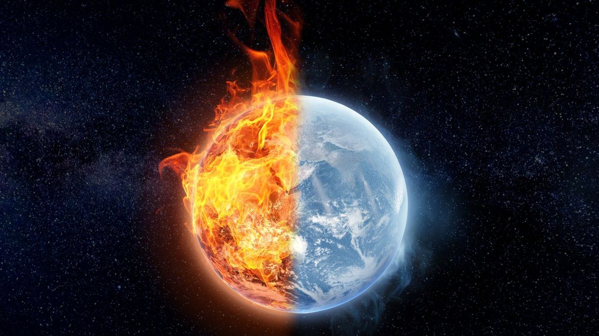
With chatter about a possible ‘Super El Niño’ spreading online, plenty of people are trying to figure out what the term really means — and whether it’s something to be concerned about.
NOAA climate scientist Michelle L’Heureux, a leading El Niño expert, says the phrase is often misunderstood and can create unnecessary confusion.
El Niño itself is a natural climate pattern rather than something directly caused by climate change. However, a warming planet can influence how El Niño’s effects are felt, potentially making some impacts on people and ecosystems more severe when an event occurs.
Here’s what matters.
Despite the dramatic name used online, NOAA does not officially use a classification called “Super El Niño.”
Instead, scientists describe El Niño events by intensity — typically ranging from weak to very strong — based on established measurements.
NOAA updates its ENSO outlook every month, outlining the likelihood of different strengths developing. In its 14 May update, the agency noted there is still considerable uncertainty over how powerful the next El Niño could become.
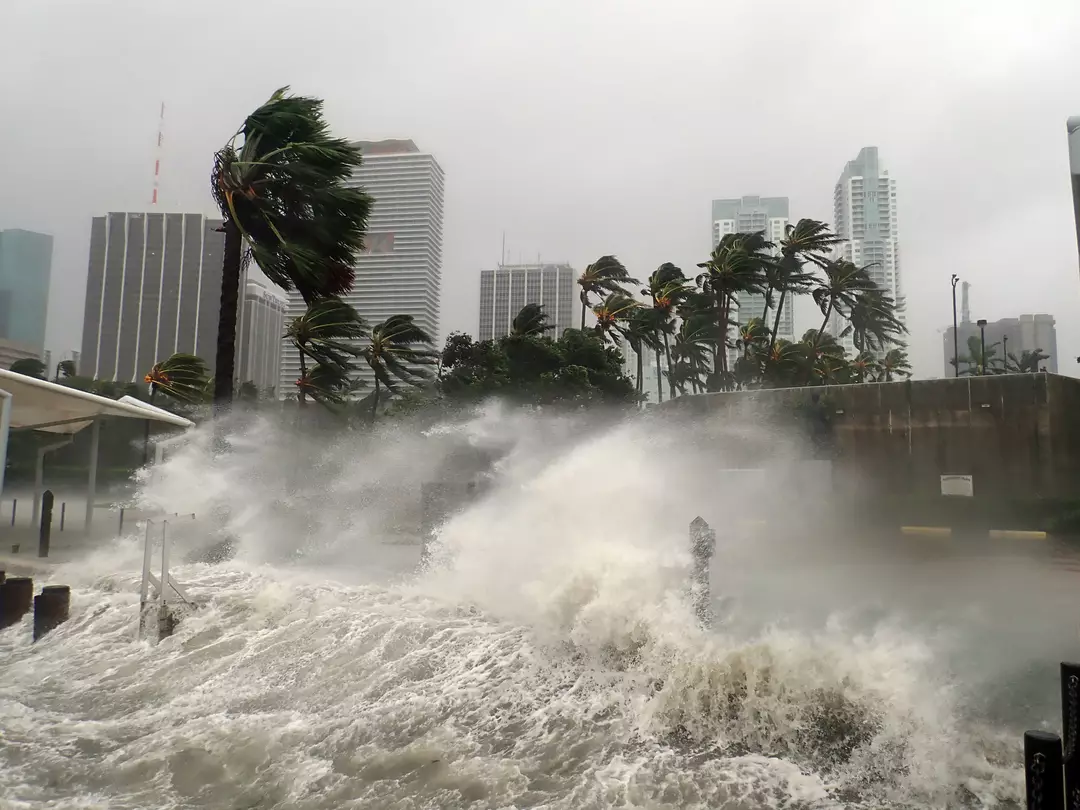
At this stage, what scientists do expect is that El Niño will likely emerge sometime between May and July 2026.
Even then, it’s not something that can be confirmed instantly. An El Niño declaration requires clear, sustained signals rather than a brief spike in conditions.
Experts watch sea surface temperatures in the east‑central tropical Pacific alongside atmospheric indicators such as winds, pressure patterns, and rainfall.
When the ocean and atmosphere align in a consistent way, NOAA issues an official El Niño Advisory. From there, the event’s strength is monitored largely by how much warmer than average the tropical Pacific becomes.
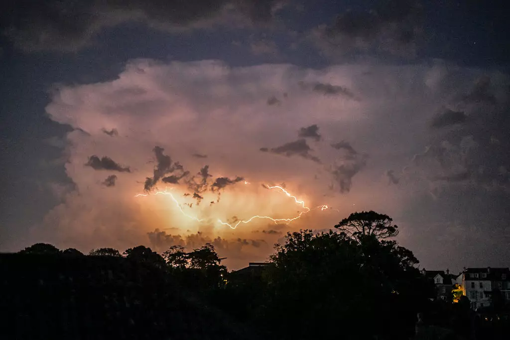
El Niño can reshape weather patterns around the world, affecting temperatures, rainfall, drought risk, and storm behavior.
Depending on location, that can mean heavier rain and flooding in some places, unusually dry conditions in others, shifts in hurricane activity, or warmer (or cooler) seasonal averages.
But L’Heureux emphasizes a key point: the intensity of El Niño does not neatly translate into “worse weather” everywhere.
She said: “It’s important to keep in mind that the strength of El Nino is not necessarily related to the magnitude of the impact.
“A stronger El Nino does not always mean stronger rainfall over someone’s house. El Nino is not a weather system or storm.
“But stronger events can modify the global atmospheric circulation in ways that increase the odds for certain outcomes.
“Certain impacts may become more likely with a stronger event than a weaker event, so it is an opportunity to prepare.”
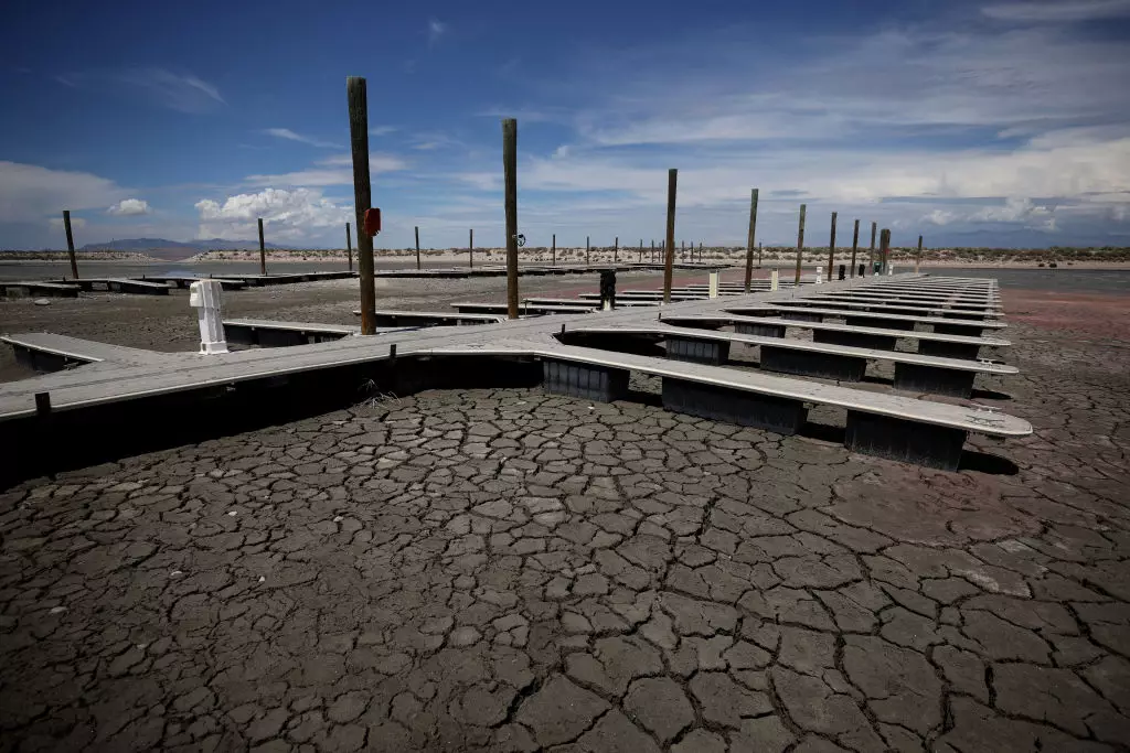
Because El Niño develops over months, forecasting can provide valuable lead time. That early notice helps governments, emergency planners, and businesses evaluate potential scenarios and plan ahead.
NOAA recommends:
Keeping up with official updates can help communities prepare for possible impacts well in advance, rather than reacting once conditions have already arrived.