

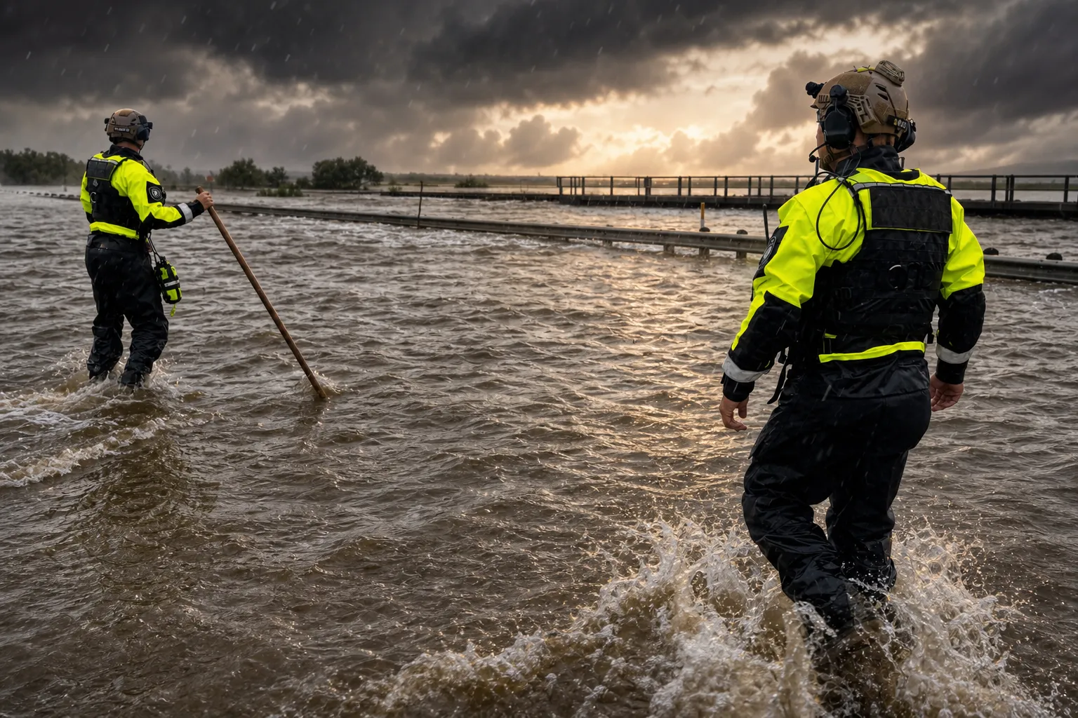
Heavy downpours in South Texas have washed out highways and stranded motorists as forecasters warned that more severe weather could bring dangerous flooding to already drenched counties near the border with Mexico. Storms dumped up to a foot of rain in some rural areas of Texas, triggering dozens of high-water rescues across the region and forcing officials to shut down portions of a busy highway near Uvalde, about 80 miles west of San Antonio.
The rare high-risk flooding threat underscores the severity of the situation unfolding across multiple South Texas counties. Parts of southern Texas are now under a rare “high risk” of flooding rain as more rounds of slow-moving storms threaten life-threatening and potentially catastrophic floods. The Level 4 of 4 risk area includes the western Hill Country, the Edwards Plateau and the Rio Grande Valley near the U.S.-Mexico border. Forecasters warned that storms overnight could dump more than a foot of additional rain into Wednesday, creating potentially catastrophic impacts from flash flooding in areas west of San Antonio.
Water rescue teams have been working around the clock. In Uvalde, officials reported at least two dozen water rescues, with crews posting dramatic videos showing rescue teams on boats navigating flooded streets and one vehicle being swept away by fast-moving waters. Five people were rescued by members of the Texas Game Warden Search and Rescue Team and four were rescued by a local game warden. Uvalde police conducted 24 water rescues on Tuesday alone. Authorities opened a local event center for anyone displaced by flooding, though officials were working to move the shelter due to rising river water. Sabinal officials were also making plans for a shelter.
In neighboring Medina County, crews conducted multiple water rescues after vehicles drove into high water and were swept off the road. Approximately 18 roads in the county are impassable due to water, and one bridge has been submerged. Radar estimates suggest that staggering amounts of rain fell in some areas, with 9 inches reported near Hondo over a six-hour period.
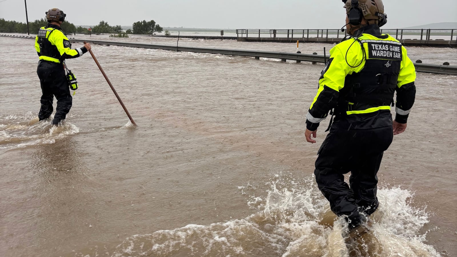
The National Weather Service issued a stark warning about the flooding threat. “Intense rain rates and compounding effects from multiple rounds of storms will result in a dangerous flash flooding threat through Thursday,” the agency stated. Forecasters expect some areas to receive rainfall rates of 2 to 4 inches per hour as slow-moving clusters of storms stall over the region. The areas most at risk could potentially receive 10 to 20 inches of rain along U.S. Highway 90 west of San Antonio.
Governor Greg Abbott issued a disaster declaration for 59 Texas counties on Tuesday, with the potential for additional counties to be added. The declaration frees up state resources to support local communities facing the flooding threat. Abbott directed the Texas Division of Emergency Management to maintain 24-hour operations at the State Emergency Operations Center at Level II to support the ongoing response effort. The state has activated the National Guard, with personnel and high-profile vehicles standing ready to assist stranded motorists. Black Hawk helicopters are positioned to assist with flood rescues, and game wardens have rescue boat teams prepared.
The threat comes at a particularly sensitive time for the Hill Country region. The area is bracing for the possibility of another major flood just over a year after the devastating Fourth of July floods that killed more than 130 people there in 2025, including 25 girls and two teenage counselors at Camp Mystic. Kerr County, where catastrophic flooding along the Guadalupe River killed more than 100 people last year, is included in the current flood watch.
Meteorologists explained the dangerous atmospheric setup fueling this flooding threat. Abundant Gulf moisture is clashing with a stalled front and a pocket of energy in the upper atmosphere, creating what forecasters call a notorious recipe for generating slow-moving clusters of storms. This pattern is being driven by a low-level jet transporting deep tropical moisture northward through the Rio Grande Valley into south-central Texas. As this moisture reaches the southern edge of the Edwards Plateau, terrain-induced lift and atmospheric instability are expected to support storm formation.
The Hill Country is particularly vulnerable to flooding because of its steep slopes, shallow soils and exposed bedrock that repel heavy rain instead of allowing it to soak into the ground. Already-saturated soils from previous rainfall are making the situation worse. Any additional heavy rainfall will run off very quickly, authorities warned, raising the risk of rapid rises on creeks, streams and rivers.
Flood watches have been issued for over six million people in central and southwest Texas, including Austin, Del Rio, San Angelo and San Antonio. The flooding threat is expected to continue through Thursday, with the heaviest rain shifting west toward the Rio Grande before conditions improve by the weekend. Parts of central and southwest Texas will see several inches of additional rain through the end of the week, with totals varying depending on where the heavier downpours persist.
No deaths or injuries were immediately reported by Tuesday evening, though authorities urged extreme caution. Officials reminded residents never to drive through flooded roads, as water may be deeper than it appears and can cause vehicles to stall, float or suffer severe damage. The message was clear: “Turn Around, Don’t Drown.”