

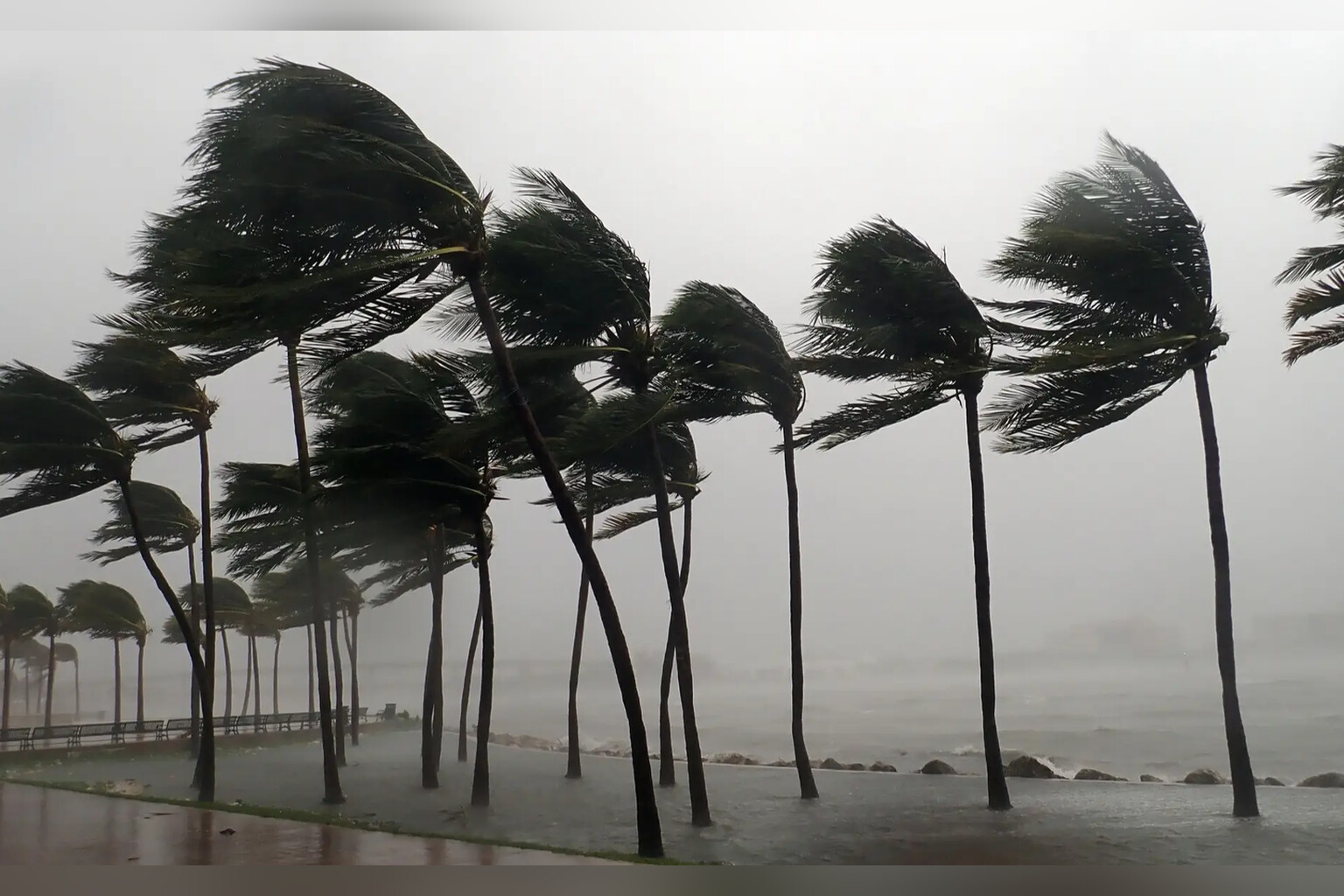
Hurricane Polo exploded from a Category 1 to a Category 5 storm in roughly 24 hours, prompting emergency measures along Mexico’s Pacific coast.
The cyclone, which meteorologists had initially expected to remain relatively weak as it tracked near Mexico’s southwestern shore, instead reached maximum sustained winds of 165 mph by September 22, according to the U.S. National Hurricane Center in Miami. Polo now ranks as the third Category 5 hurricane of this Pacific season, following Genevieve and Lowell earlier this year.
“This is one of the strongest storms ever in the (Pacific) Basin,” said Kristen L. Corbosiero, a professor at the University at Albany’s Department of Atmospheric and Environmental Sciences, in comments to NBC.
The National Hurricane Center noted that Polo reached intensity levels previously observed only in historic mega-hurricanes such as Hurricane Patricia, which produced winds of 215 mph in 2015. Polo was positioned approximately 215 miles south of Zihuatanejo and appeared nearly stationary over the Pacific Ocean by yesterday evening.
Mexican authorities responded swiftly to the rapid escalation. Classes were suspended across Guerrero, Michoacán and Colima on September 22 due to threats of flooding, crashing waves and mudslides. Mexico’s navy closed ports in Guerrero and Michoacán, warning civilians and fishermen to exercise extreme caution.
Researchers forecast rainfall of 3 to 6 inches across Guerrero and Michoacán, with lesser amounts expected in Oaxaca, Colima and Jalisco. The U.S. Embassy in Mexico issued its own weather alert, cautioning American citizens about dangerous water and beach conditions.
“Even if the storm does not make direct landfall, heavy rain may produce life-threatening flooding and mudslides. Hazardous ocean conditions—intensified by storms—may result in deadly rip currents and rogue waves,” the embassy wrote in its statement.
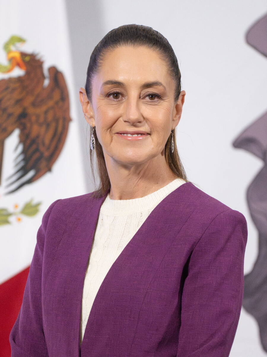
Mexico’s President Claudia Sheinbaum addressed the developing situation publicly as the storm intensified. “The National Civil Protection Coordination has informed me that Tropical Depression Seventeen-E in the Pacific has intensified into a Category 1 hurricane,” she said. “Intense rains are expected over the next 72 hours along the coasts of Guerrero, Michoacán, and Jalisco. It is very important to stay tuned to official information from the National Meteorological Service and Civil Protection.”
The storm’s stall over open water has not eliminated longer-term concerns for other regions. Yale Climate Connections indicated that evolving steering patterns could redirect the cyclone. “Long-range models suggest that steering currents will likely push Polo on a more north-northwest track by that point, and that could bring Polo into Baja California and push a surge of moisture toward northwest Mexico and the southwest United States,” the organization said.
Polo’s explosive intensification from a tropical depression to one of the basin’s most powerful recorded storms mirrors a pattern that has drawn increasing scientific attention. The storm’s capacity to strengthen so dramatically within a single day left forecasters and emergency managers scrambling to adjust protective measures for coastal populations already in its potential path.