

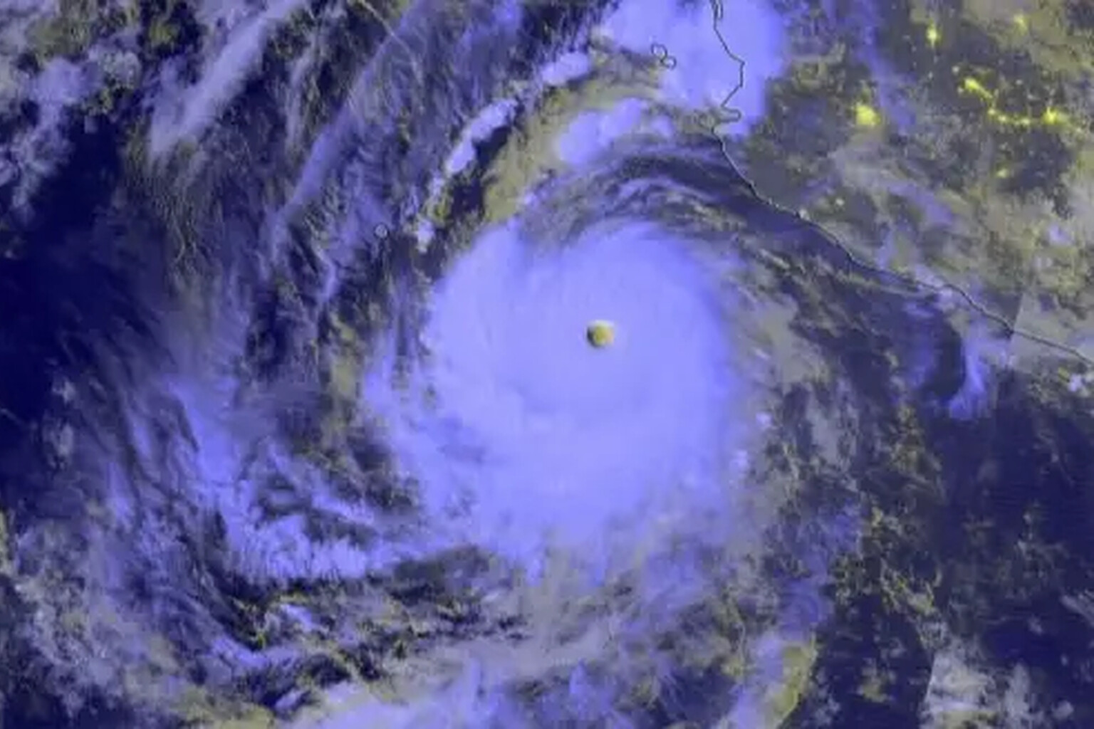
UK authorities have upgraded travel warnings for Mexico as Hurricane Polo, supercharged by a record-breaking El Niño event, bears down on the Baja California peninsula.
The updated alert urges “emergency preparedness” and warns British tourists and locals alike that they may need to use emergency shelters. Travellers in Los Cabos, the resort hub at the southern tip of the Baja California Peninsula, have been told to stockpile emergency supplies ahead of the storm’s expected arrival.

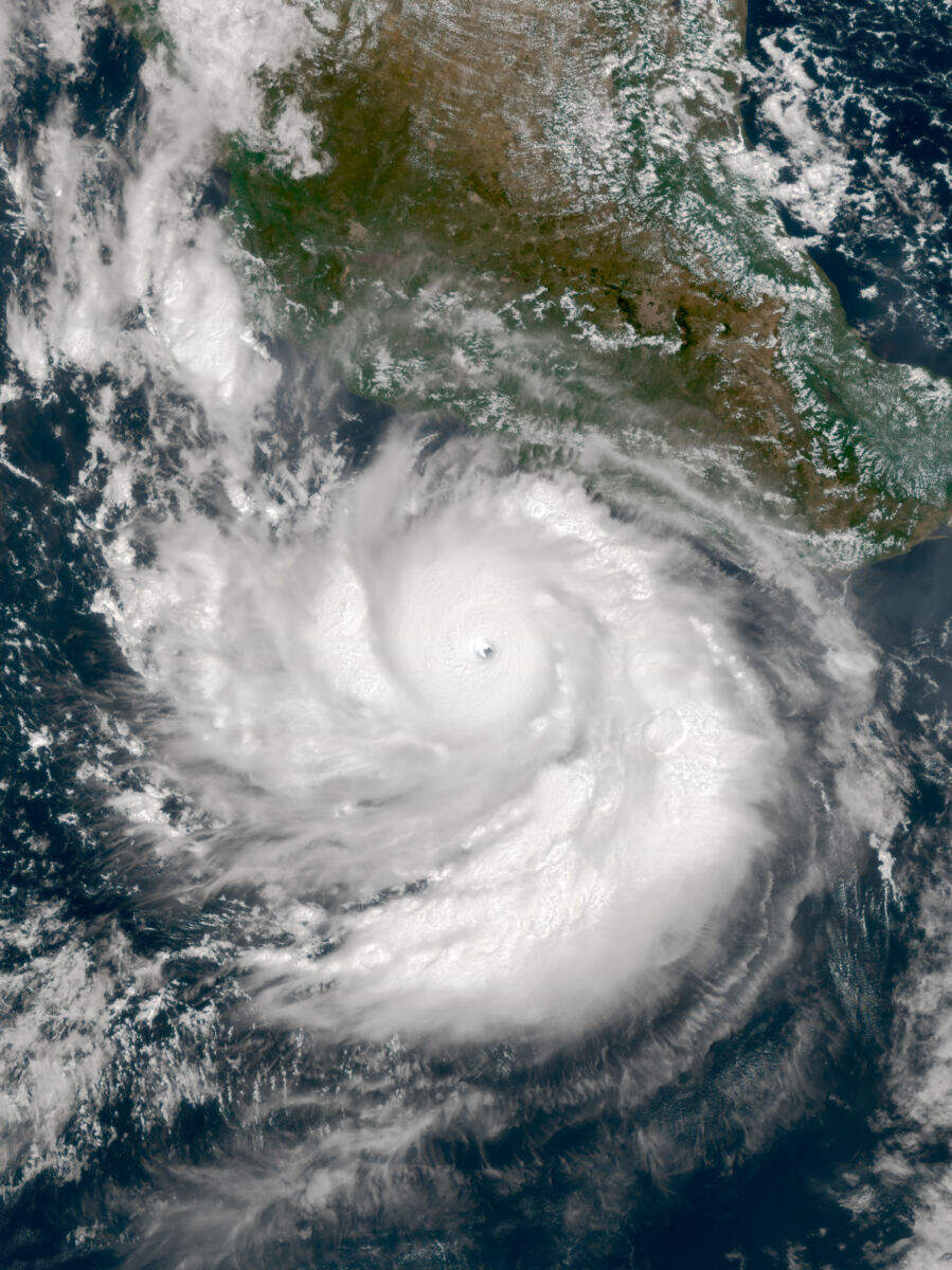
The storm has already carved a devastating path through the eastern Pacific. Polo formed in mid-September 2026 as a tropical disturbance off Mexico’s Pacific coast, organised into a tropical depression by 20 September, and became a tropical storm the following day. What happened next stunned meteorologists. NASA described the storm’s rate of intensification and strength as “jaw-dropping.” Researchers estimated peak winds of nearly 180 miles per hour, making Polo the third-strongest storm on record in the eastern Pacific by maximum sustained winds, and the fastest on record to escalate from tropical depression to Category 5.
“Polo went through a period of what can only be described as explosively rapid intensification,” said Gary Partyka, an atmospheric scientist with the Global Modeling and Assimilation Office (GMAO). “This was rapid, rapid intensification.”
Though Polo has since weakened slightly to Category 4, the US National Hurricane Center says it remains “very powerful.” The storm is forecast to turn west-north-west before taking a more north-westerly trajectory on Saturday, 26 September, putting the Baja California region directly in its crosshairs.
The hurricane has stayed just off Mexico’s southwestern coast without making landfall, but has still dumped heavy rainfall of 6 to 8 inches across states including Guerrero, Michoacan, and Colima.
The UK Government’s initial warning, issued earlier this week, flagged “life-threatening” conditions. The updated guidance is more specific about immediate actions travellers should take.
“Hurricane Polo is affecting Mexico’s southwestern coast. Heavy rain is expected to continue during the week of 21 September and may cause life-threatening flooding and landslides. A tropical cyclone warning is in place,” the warning read. “Monitor local and international weather updates, including US National Hurricane Center and Mexican Meteorological Service. Follow advice from local authorities and your tour operator.”
The advisory added: “The hurricane is forecast to move towards Baja California on the weekend of 26 and 27 September. Local authorities have published guidance on emergency preparedness and the locations of emergency shelters if needed.”
Local officials are taking no chances. The Los Cabos tourism board warned that “a major natural disaster may temporarily affect roads, electricity, potable water, communications, and other essential services.” It encouraged residents to maintain enough emergency supplies to remain self-sufficient for up to 15 days. The Emergency Contingency Plan has published shelter locations across San José del Cabo, Cabo San Lucas, Miraflores, Santiago, La Ribera, and surrounding communities.
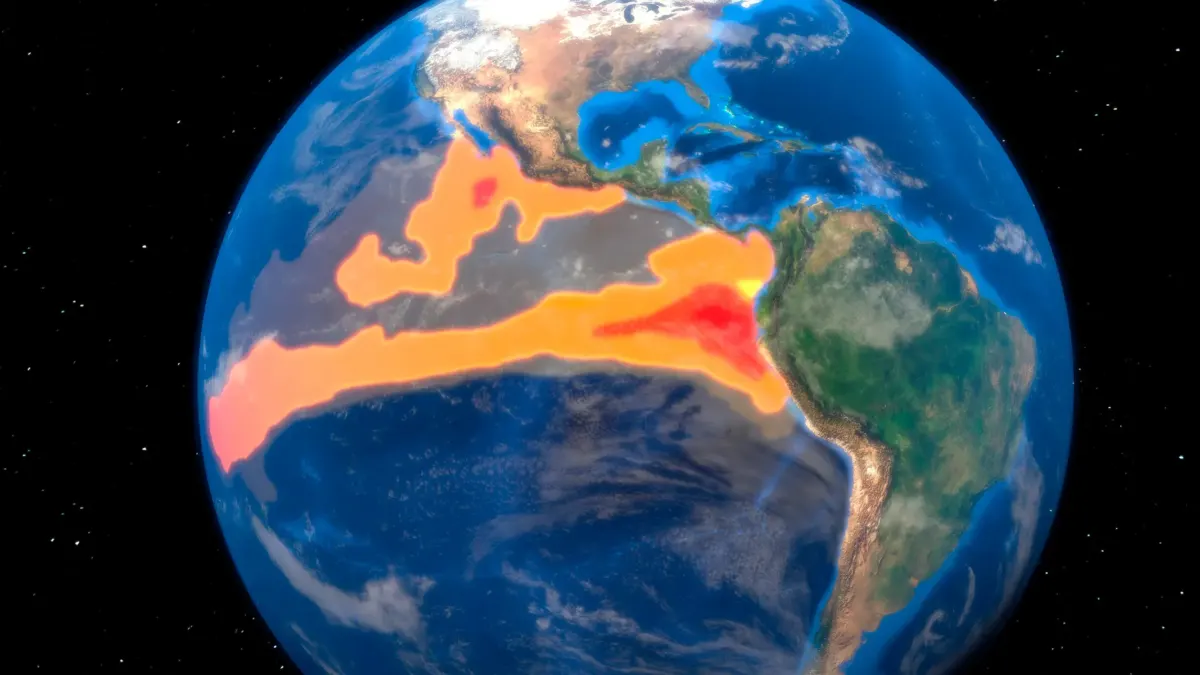
The storm’s extraordinary power has been linked to an El Niño event that experts say is already shattering records. Professor Adam Scaife, head of long-range prediction at the Met Office, explained: “We have been signalling for months that the developing El Niño will be an unprecedented event.”
“The fact that it has already exceeded previous records, with several weeks to go before it peaks later this year, shows the enormity of this El Niño,” he continued. “Scientists are still assessing whether the impacts will be in proportion to its magnitude, but we are already seeing expected effects worldwide.”
El Niño, a naturally occurring climate phenomenon driven by warmer-than-average sea surface temperatures across the central and eastern equatorial Pacific, alters atmospheric circulation patterns and affects weather across the globe. This year’s event has been dubbed “Godzilla” for its extreme intensity. The Met Office notes that north-western Europe, including the UK, faces wetter and stormier conditions this autumn and early winter, while regions including southern Africa and north-east Australia face heightened drought risk.
The storm’s rapid intensification from tropical depression to one of the most intense hurricanes ever measured in the eastern Pacific exemplifies the kind of extreme weather scientists have warned could accompany such a powerful El Niño.
Polo is expected to continue its north-westerly track toward Baja California through the weekend.