

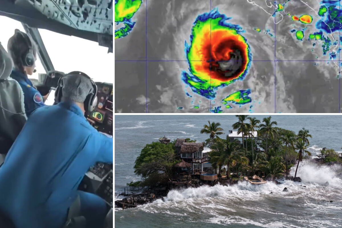
Hurricane Polo has triggered urgent warnings across Southern California as the powerful storm’s wave energy surges north toward beaches still recovering from earlier damage.
The Category 5 hurricane, one of the strongest ever recorded in the eastern Pacific, is forecast to make landfall in Baja California Sur on Monday, according to the National Oceanic and Atmospheric Administration. Polo previously reached winds of 180 mph with central pressure dropping to about 892 millibars, placing it among the most intense eastern Pacific hurricanes ever measured.
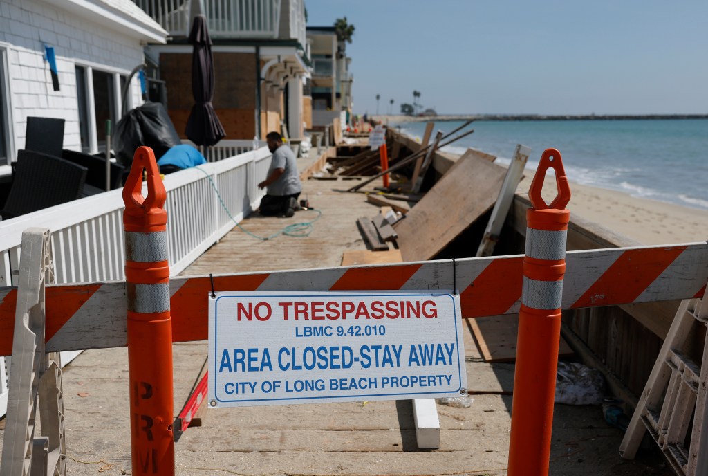
Swells from the massive system are expected to begin arriving late Sunday, with the most significant impacts forecast for Monday and Tuesday. High tides could reach around 7 feet, raising the threat of flooding along beaches, walkways and low-lying coastal areas throughout the region.
“The main concern with this particular system is the significant wave energy, very dangerous surf, significant and potentially dangerous to deadly rip currents will also be occurring,” Dr. Ariel Cohen of NOAA told KTLA.
The National Weather Service warned that Los Angeles and Ventura counties could see four to seven-foot surf, along with strong rip currents, beach erosion and possible coastal flooding as the large swell arrives during high tide. Areas of particular concern include the Long Beach Peninsula, Belmont Shore, Malibu and Avalon, although dangerous conditions could extend along much of the Southern California coastline.
The coastal threat has become so serious that wildlife officials relocated two newly discovered olive ridley sea turtle nests from Seal Beach and Huntington Beach to the Aquarium of the Pacific in Long Beach, citing the combination of high tides and dangerous surf.
The coastline is still recovering from the impacts of Hurricane Marie earlier this month, when powerful swells, king tides and dangerous surf caused widespread erosion and infrastructure damage. Long Beach, Malibu and other coastal communities saw flooding, damaged seawalls and significant beach erosion, leaving some areas vulnerable as they continue dealing with that storm’s aftermath.

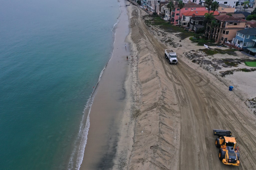
In Seal Beach, lifeguard stands were removed from portions of the beach after erosion left some areas with little safe space for the equipment. In Long Beach and Seal Beach, crews have been reinforcing sand berms and preparing for flooding. Long Beach officials have also been working to strengthen the sand berm protecting homes along the peninsula and preparing sandbags and pumps ahead of the expected swell.
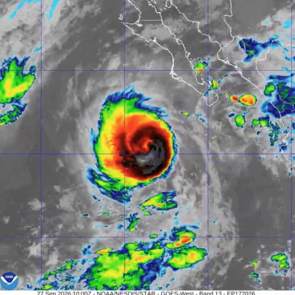
Dramatic footage from inside Polo shows the storm’s extraordinary power. Video shared by NOAA’s Hurricane Hunters shows a WP-3D aircraft plunging directly through the hurricane’s violent eyewall, the aircraft violently rattling and bouncing as the crew pushes toward the eye before the turbulent ride gives way to an eerie pocket of calm. Another view from the flight shows blue sky surrounded by towering white clouds as the aircraft emerges inside the hurricane’s eye.
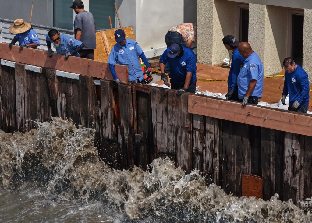
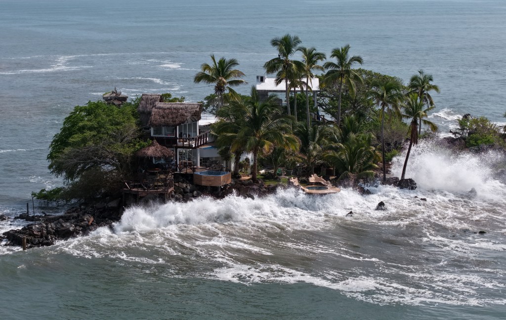
While Polo is not expected to make a direct hit on Southern California, its massive wave energy is expected to surge north toward the coast. The storm exploded into one of the strongest systems ever recorded in the eastern Pacific before beginning its approach toward the Baja peninsula.
The region’s beaches and coastal infrastructure face renewed strain just weeks after Hurricane Marie’s damaging passage, with communities racing to bolster protections before the new swell arrives.
Polo is forecast to make landfall in Baja California Sur on Monday.