

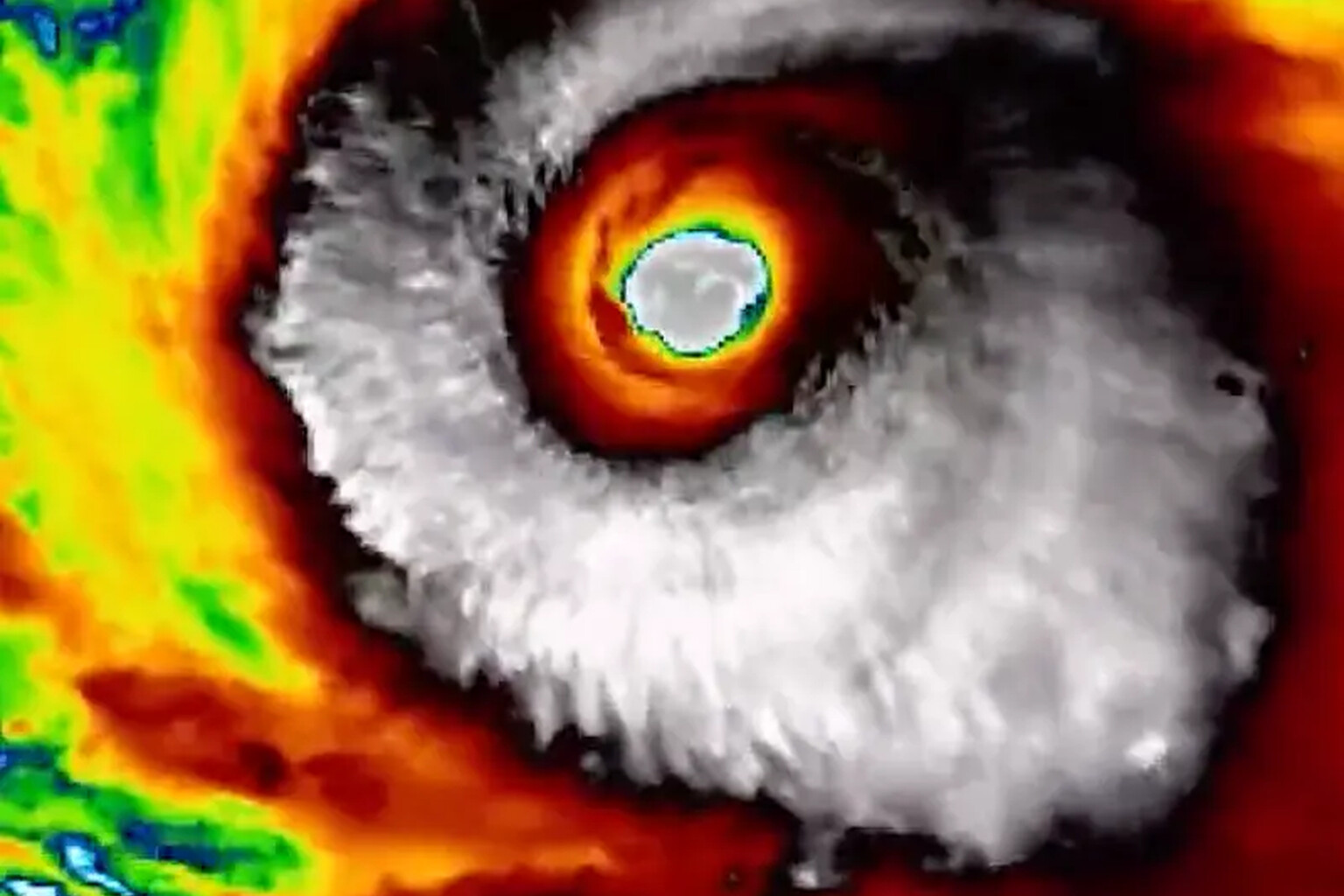
Super Typhoon Champi has claimed the title of 2026’s strongest tropical cyclone by wind speed after peaking at 296 km/h (184 mph).
The storm, spinning through the western Pacific Ocean, now ranks as the equivalent of a Category 5 hurricane, according to the Weather Network. It also marks the seventh Category 5 storm recorded globally this year.
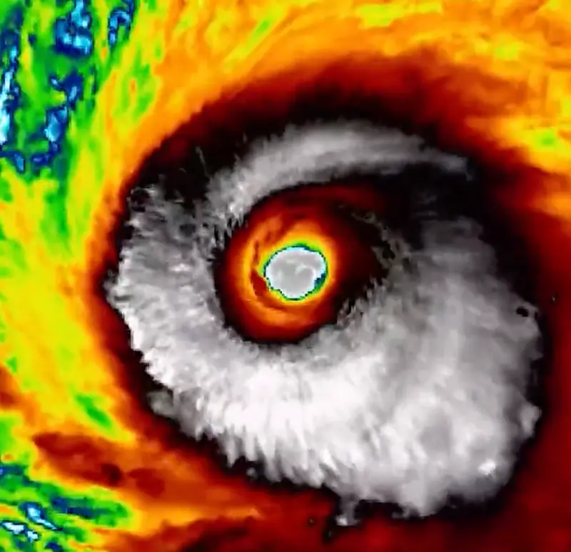
Champi dethroned Hurricane Polo, which had previously held the year’s top wind-speed record at 285 km/h (177 mph). The margin between them stands at 11 km/h, roughly 7 mph. Yet Polo retains one critical advantage: its minimum central pressure dropped to 892 millibars, beating Champi’s 895 mb. That lower pressure means Polo remains the more intense storm by that metric, leaving the “strongest storm” crown split between the two depending on which measurement scientists prioritize. Polo’s reading also established it as the second-most intense hurricane on record in the eastern Pacific.
The storm swept past Guam early Sunday morning local time, displaying what radar imagery revealed as a strong, healthy structure. Sea surface temperatures in that stretch of the western Pacific are running near 30°C (86°F), slightly above normal for this point in the season. Deep moisture, calm winds, low wind shear and sufficient upper-level ventilation combined with Champi’s internal organization to fuel its explosive strengthening.
Those favorable conditions are temporary. Champi is projected to continue west toward Taipei before pivoting northwest later this week, where it will encounter a more hostile environment. Forecasters expect weakening to Category 4 or 3 strength by Thursday and Friday, stripping it of Category 5 status within days.
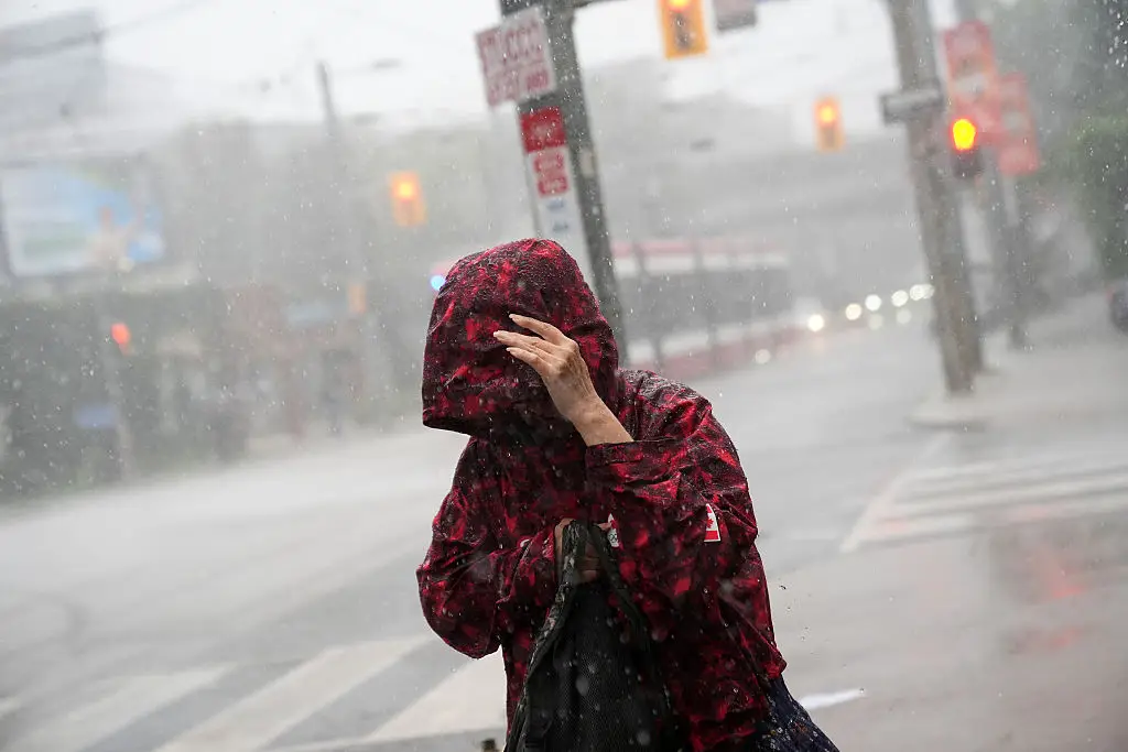
The storm’s reach extends far beyond the Pacific basin. Champi is actively tugging on the jet stream, sending ripple effects through global weather patterns. Because the typhoon tracked more westerly toward Taiwan rather than recurving earlier, downstream impacts are anticipated in Canada. These effects will reinforce an end-of-October and early-November pattern already in the forecast for Ontario and Quebec, where conditions are expected to turn more changeable and unsettled during the middle and latter part of next week, potentially lingering into the following week. Warmer-than-normal temperatures should dominate overall, though quick interruptions remain likely.
The western Pacific has also spawned another system of note: Tropical Storm Vance, which would become the first V-named storm in the basin since 2018 if it reaches tropical storm status. Meanwhile, Hurricane Trudy churns as a Category 1 storm near Mexico, bringing heavy rainfall to the region.