

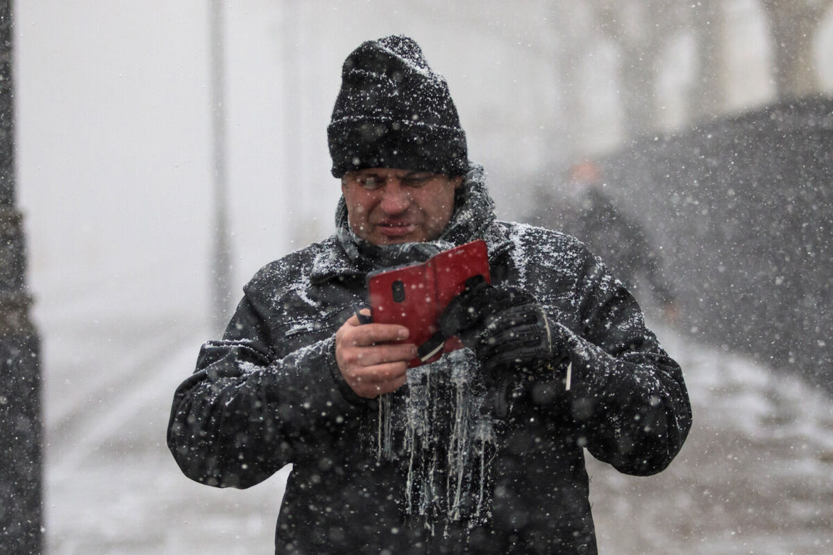
Brits have less than 24 hours to make sure their phones are charged before disruptive snow and ice hits.
The Met Office issued a yellow snow warning running from midnight to noon on Tuesday, covering a stretch from the West Midlands across to southern Scotland, as a band of rain pushing northwards is expected to turn to snow when it collides with cold air already settled over the country. Forecasters warned that most areas will see accumulations of 1-5 cm, while locations above 300-400 metres could face 5-15 cm of snow. Meteorologists also cautioned that ice accretion on power lines and infrastructure may cause additional problems beyond the travel disruption.
The urgency intensified after Britons woke Monday to widespread frost and a yellow ice warning that remained in force until 10 am, with temperatures having dropped below freezing overnight and motorists facing difficult driving conditions. The Met Office is now pressing the public to act immediately rather than wait for conditions to worsen.
“You could be without food, heat or light if you are cut off by snow and can’t access services and amenities for a number of days,” the weather service explained in its preparedness guidance.
“Act now and be prepared, by getting the essentials together that you could need: torches and batteries, candles, matches or lighters, plenty of blankets and warm clothing.”
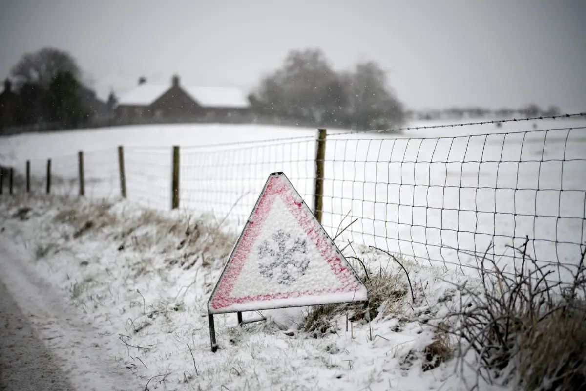
For those who must travel by road, the Met Office urges route planning, extra time built into journeys, and vigilance regarding possible delays or closures. Vehicle checks are also advised, particularly wipers and tyres, with the additional recommendation to pack in-car essentials including a fully charged mobile phone equipped with either an in-car charger or a battery pack. The service noted that some areas may become completely inaccessible by road if heavy snow materialises.
Met Office meteorologist Aidan McGivern outlined the specific threat for Tuesday, describing an “unsettled picture” that will develop through Monday evening and early Tuesday morning.
“It’s during Monday evening that we’re likely to see some freezing rain or snow over upland parts of mid to North Wales, rain at lower levels, and then as that system moves into the colder air across Northern England and southern Scotland during the early hours of Tuesday, we’re likely again to see some significant and disruptive snow above 300 metres for northern England, above about 150-200 metres for southern Scotland,” he said.
“That, accompanied by increasingly strong winds, we’re talking about 50-60 mph wind gusts, means that it is going to be hazardous for upland parts of northern England and southern Scotland, with the risk of drifting snow, ice accretion, and blizzards at lower levels.”
The broader context for this warning sits within a week of plunging temperatures that prompted forecasters to advise digging out winter wardrobes, with the current cold snap representing a significant shift in conditions across the country.

The Met Office’s core message centres on self-sufficiency for those who may become isolated, with the advice to “think ahead and act now so you can cope” if worst-case scenarios unfold. Power banks for mobile phones feature prominently in the guidance, reflecting the particular risk of power cuts accompanying the ice and snow. The service’s repeated emphasis on phone charging underscores the narrow window before the Tuesday warning period begins.

The cold pattern shows little sign of immediate relief, with forecasters indicating that the interaction between incoming precipitation and established cold air will maintain hazardous conditions through the early part of the week.
The yellow snow warning remains active from 12 am to 12 pm on Tuesday across the West Midlands to southern Scotland corridor.