

El Niño has now officially begun, and its effects are reaching far beyond day-to-day weather changes.
Researchers have been monitoring the climate pattern for quite some time. According to the National Oceanic and Atmospheric Administration (NOAA), El Niño formally developed in June and happens when trade winds weaken, allowing warmer water to shift eastward toward the western coastline of the Americas.
The phenomenon, whose name means “little boy” in Spanish, is known for reshaping weather patterns across large regions. NOAA says it can leave parts of the US and Canada drier than normal while also influencing ocean conditions in ways that affect marine ecosystems.
As sea temperatures rise, animals that usually remain in warmer waters may begin appearing far outside their normal range. An intense marine heat wave is already underway, with juvenile sharks and other aquatic visitors turning up earlier than typical, according to researchers from the University of California, Santa Barbara.
Among the species expected to show up more frequently near California are white sharks. They may be joined by a variety of other marine animals moving closer to the West Coast.
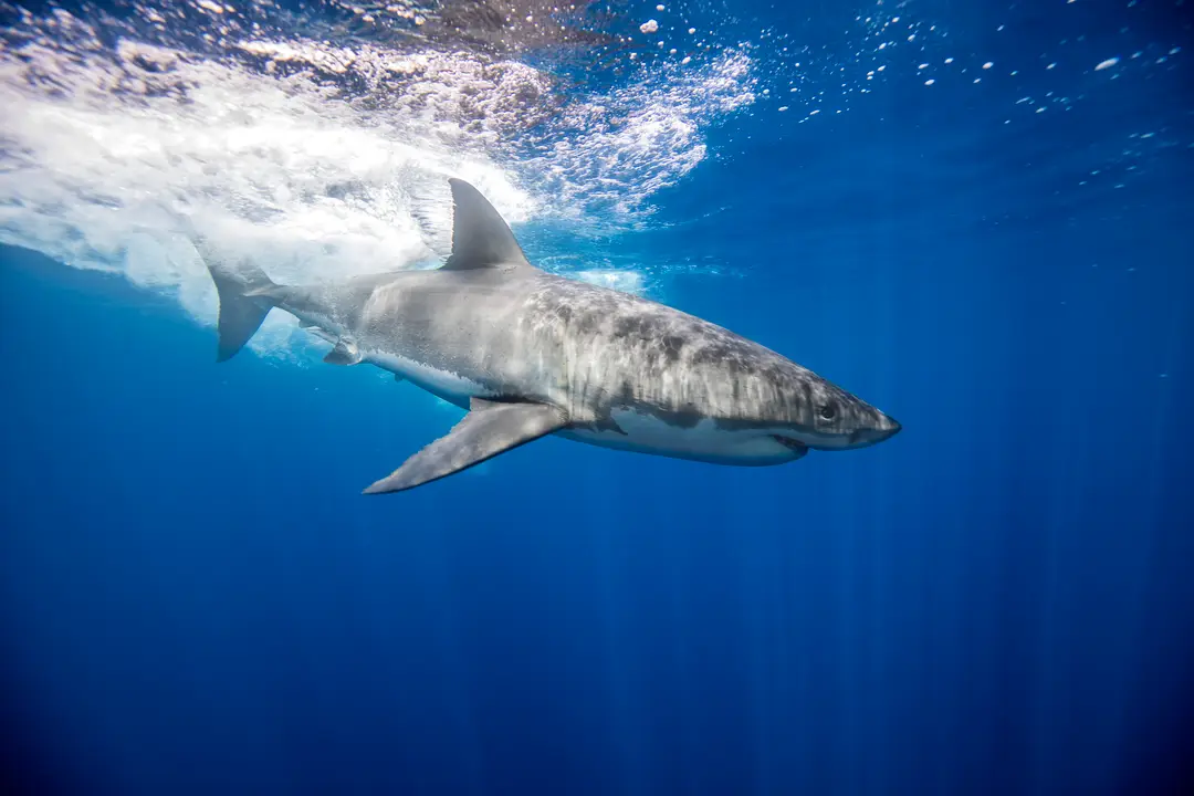
Scientists believe multiple shark species including tiger and bull sharks, along with rays, tropical fish, birds, and even sea snakes, could head farther north into waters where they are not commonly seen. Previous El Niño events have demonstrated this pattern, with hammerhead shark bites reported off the Southern California coast during the 2015-2016 El Niño event.
Douglas McCauley, director of the Benioff Ocean Initiative at the University of California, Santa Barbara, told the news outlet:
“We expect to see all kinds of weird tropical things come up with this warm water.”
McCauley added:
“We’re already seeing Mahi mahi. You’ll see more bluefin tuna, and you see weird stuff, like we’ll see more sea turtles and sea snakes.”
One of the more concerning visitors could be the yellow-bellied sea snake, described as a highly venomous species that may appear along US coastlines during especially warm stretches. These snakes, which typically live in tropical waters of the Pacific and Indian Oceans, have already been spotted on Southern California beaches as the warming continues.
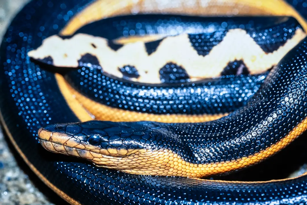
If someone is bitten, symptoms can include muscle pain, stiffness, drooping eyelids, drowsiness, and vomiting. A bite from this sea snake can lead to paralysis and death in just hours without treatment. The venom is highly toxic and contains potent neurotoxins and myotoxins, with the snake’s short fangs typically injecting only a small dose. However, experts note that defensive bites often inject little to no venom, and the majority of bite victims survive without serious consequences when immediate medical attention is received. The Australian Museum warns:
“A serious bite can lead to total paralysis and death,”
It further warns:
“Anyone suspected of being bitten by a Yellow-bellied Sea Snake should seek medical attention immediately, even if the bite appears trivial (sea snake bites are initially painless and show no sign of swelling or discolouration).
“This species has caused fatalities overseas, however none have been recorded in Australia.”
These snakes are known to appear during unusually hot ocean conditions and should never be approached or handled. Experts also note that such snakes pose less danger than inshore sea snake species since they rarely venture close to shore, except during unusual strandings caused by wind or currents.
McCauley continued:
“Some of these kinds of interesting oddities that are never a part of California will become part of this temporarily tropical El Niño-heated California,”
The current El Niño event has already set records for strength during its early phase. Multiple forecasting models indicate this could become one of the strongest El Niño events on record. According to the latest forecasts, the El Niño is expected to strengthen toward a very strong peak between November 2026 and January 2027, with peak intensity likely arriving in late fall or early winter. Officials say it could contribute to even more severe weather around the world as it develops further, adding extra pressure to a planet already experiencing extreme climate conditions.
Forecasters say the pattern is expected to reach its peak over the coming months and should remain in place through the spring of 2027.
United Nations secretary-general Antonio Guterres said on July 31:
“Two months ago, I warned that El Nino was arriving on our doorstep. Now it is inside the house — and turning up the heat.
“We have already endured a summer of extremes — record-shattering heat domes; apocalyptic wildfires raging in Spain, France and far beyond; thousands of lives lost in the scorching conditions.”