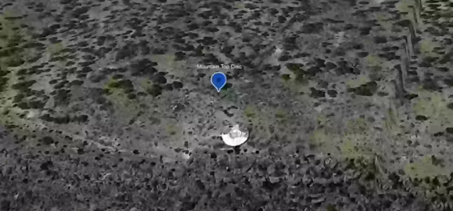
Google Maps users have discovered a disc-shaped structure in New Mexico’s mountainous region, leading to a wave of intriguing theories.
This object, resembling an alien spacecraft, was noticed at coordinates 34°24’21.6″N 107°05’44.5″W, roughly 34 miles from the Sevilleta National Refuge in La Joay, and has captivated internet users.
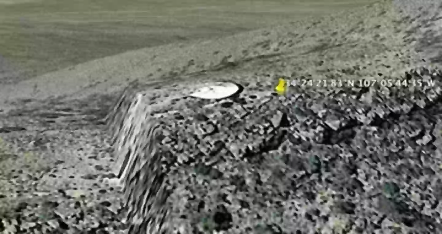
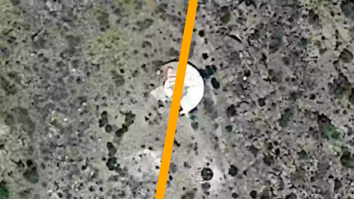
The disc’s location is in the remote landscape of Sierra Ladrones, with no visible roads or buildings nearby.
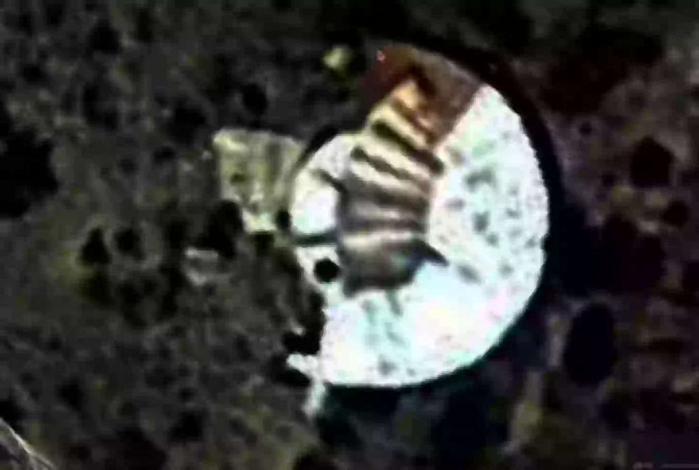
Images reveal that one side of the white disc features metallic components, while the opposite side is obscured by vegetation.
The unusual find was highlighted on a Twitter account focused on ufology.
The post stated: “Something in the shape of a disc embedded in a mountain in New Mexico, USA, at an altitude of 2,255 meters.”
Some have speculated that the object might be a satellite calibration target, an old observatory, or a water reservoir.
Reddit users are also speculating, with some suggesting the site might be a “crashed UFO stuck in the mountain.”
A local commented: “I’m from New Mexico and very familiar with the area. There’s nothing out there, pure desert, no way it could be a home and if it’s on a mesa I doubt one could drill for water. No reason [for there to be] a building there.”
Another user speculated: “I wondered about it being a modern home built into the earth, but there’s no suitable access road. And I checked the tax maps. This is on a government tract, and not privately owned.”
Historical images from Google Maps dating back to 1996 show the site was barren, without any disc or dirt path.
YouTuber Michael, known as ‘The Earth Watchman’ to his followers, also examined the site, noting: “This is a very remote location, nothing going on up here.
“This looks very much like a disc that is stuck in the top of this mountain. I measured the disc from side to side, it’s around 30 feet across.”
He further speculated that the disc got buried after “crash landing in the mountains.”
The Metabunk website, searching for a more plausible explanation, reviewed US Geological Survey records.
They concluded the structure might be a rainwater catchment that was later replaced, referencing a 1975 photo showing a small dot with a path beside it.
The Metabunk researcher remarked: “From a quick search there appears to have been a structure built on that exact spot from at least the 1975 so it seems unlikely anything coincidentally ‘crashed’ there.”