

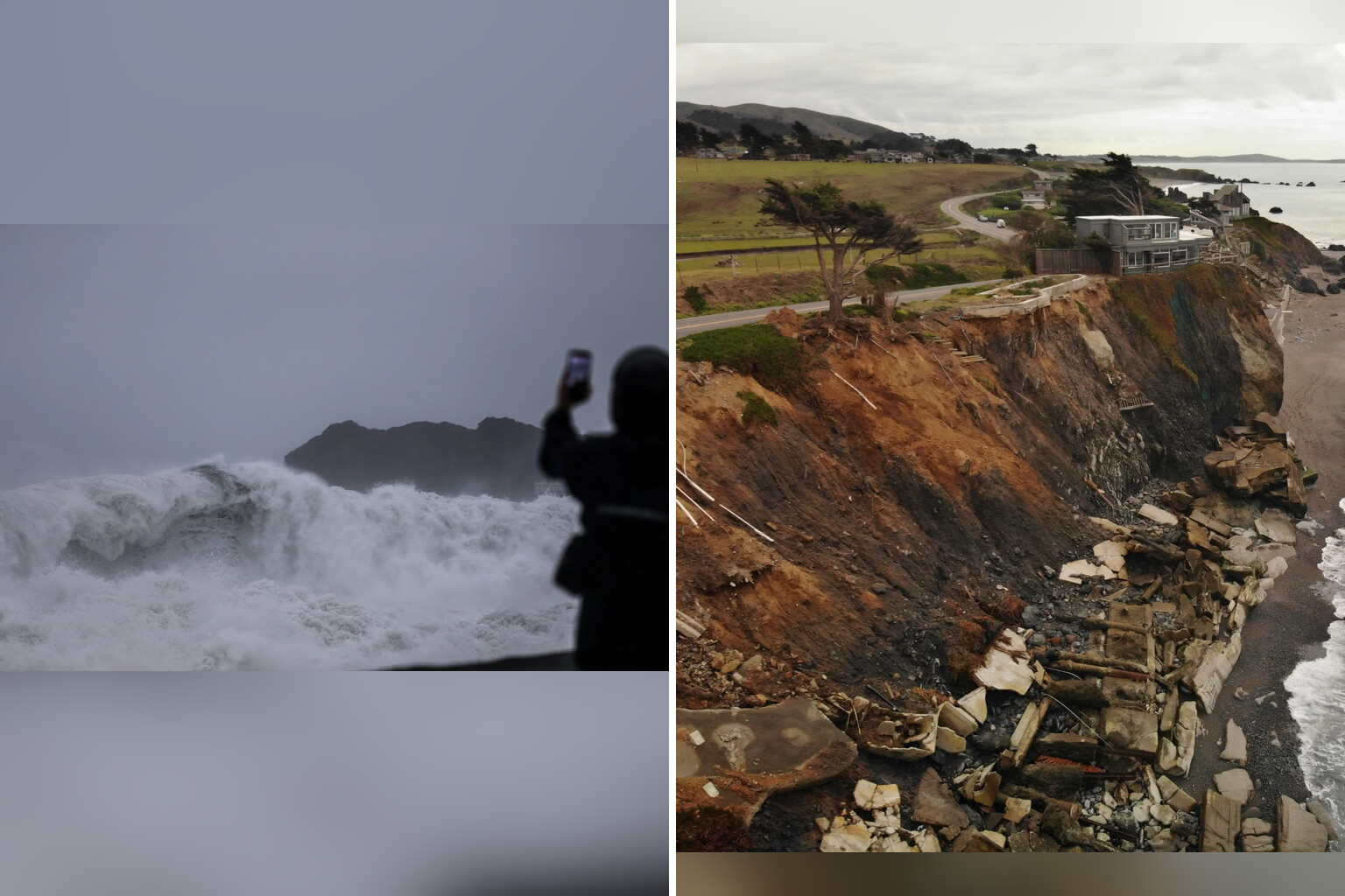
A leading meteorologist has identified California and the desert southwest as the two US regions facing the highest risk of flooding from this year’s intensifying Super El Niño.
Matt Benz, senior meteorologist at AccuWeather, said that “California and the desert southwest are at the highest risk of flooding.” The warning comes as the National Oceanic and Atmospheric Administration calculates a 75 percent chance that the current weather event will peak as the strongest El Niño since record-keeping began in 1950.
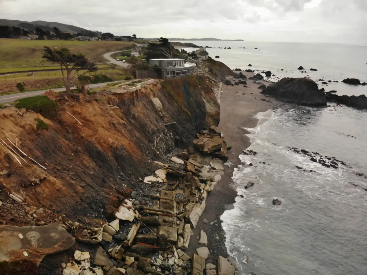
Benz expanded on the specific threats facing Northern California in particular. “Northern California could see frequent storms with rain and wind – and coastal storms with erosion,” he added in the same interview. He also noted that fall will “linger longer this year,” delaying winter’s arrival and reducing expected snowfall.
The meteorologist reinforced assessments from other climate specialists that this year’s El Niño could “be one of the strongest on record.” The natural climate cycle develops when surface waters in the central and eastern tropical Pacific Ocean become unusually warm, triggering a cascade of extreme weather effects across multiple continents.
Celeste Saulo, secretary general of the World Meteorological Organization, delivered an equally stark assessment of the phenomenon’s scale. “This is literally off the monitoring charts that we have used for the past four decades,” she stated, per the Sun.
Saulo also addressed the connection between the intensifying pattern and weather disasters already unfolding worldwide. “We are already witnessing extreme weather events and expect this to multiply and cascade as El Niño intensifies,” she said. Yet she emphasized that preparation could mitigate the human toll: “But a powerful El Niño does not have to be a recipe for humanitarian disaster. We have the science forecasts, the early warnings to save lives and protect livelihoods.”
The United Nations’ Tom Fletcher adopted even more forceful language to describe the global threat. “A wrecking ball that will likely tear through Latin America, Eastern and Southern Africa, Asia, and the Pacific with extreme heat, droughts and flood,” he said.
The Asia-Pacific region has already experienced El Niño’s destructive potential through Typhoon Champi, which reached “super” typhoon status as it caused widespread damage across Asia. James Caron, director of meteorological operations for North America and Asia at Atmospheric G2, identified the underlying driver in remarks to The East Malaysia. “El Nino is the main driver,” Caron said. “That time is what lets it reach super typhoon strength.”
Caron pinpointed where the storm posed its gravest danger. “The biggest threat is extreme rain over northern and northeastern Taiwan,” he explained.
Multiple experts have now linked this year’s El Niño to an expanded array of potential hazards beyond flooding alone, including hurricane warnings, extreme heat, drought conditions, and what forecasters have termed a “winter storm battleground” as seasonal patterns shift.
Saulo’s organization and other international bodies continue monitoring the developing situation as the event approaches its predicted peak strength in the coming weeks and months.