


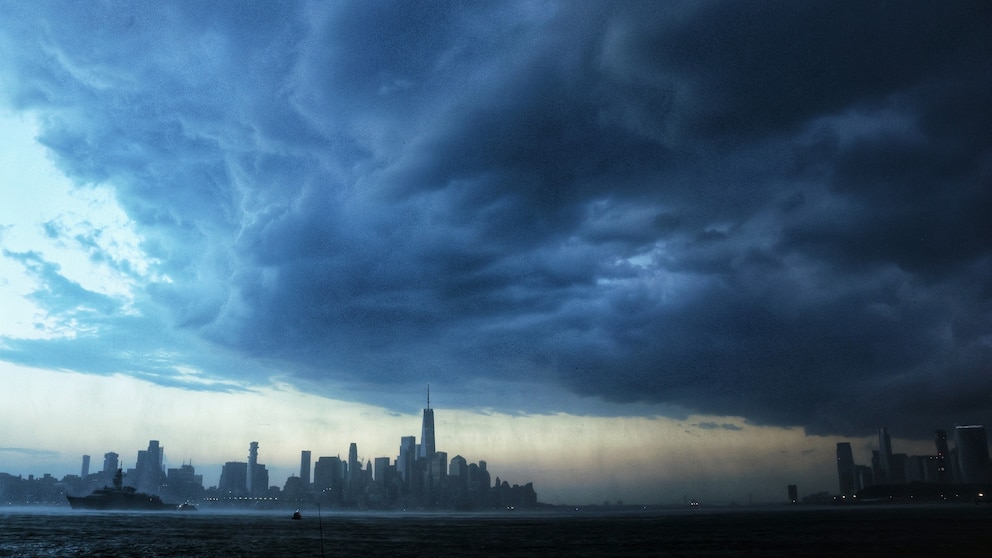
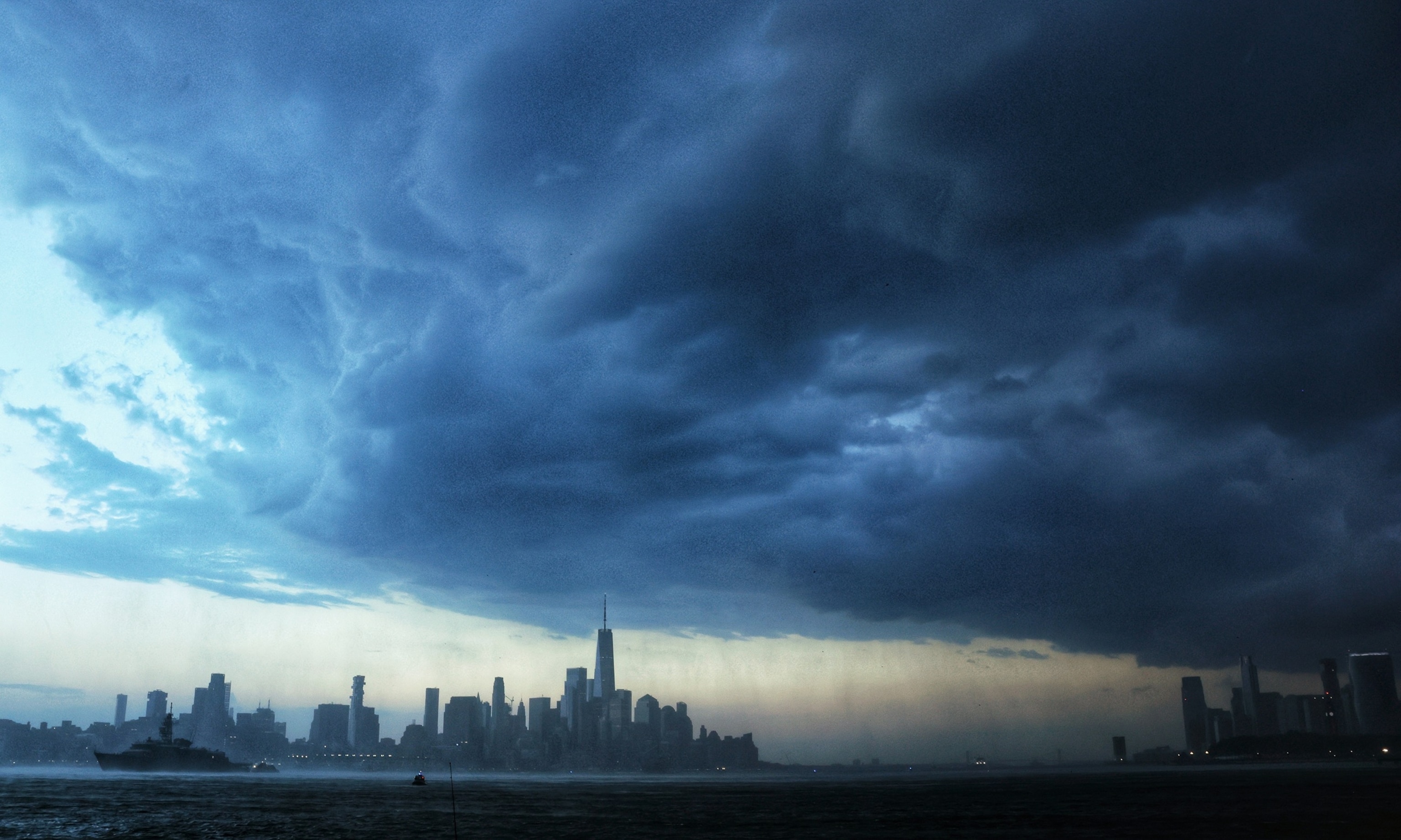
The Northeast faces a dramatic flip from extreme heat to dangerous flash flooding as a powerful weather system brings torrential rainfall to the region just days after a historic heat dome shattered temperature records across the area. Flash flood warnings have been issued for New York City and surrounding areas as the atmospheric conditions that fueled one of the most dangerous heat waves in recent memory now collide with tropical moisture to produce rainfall rates that could overwhelm urban infrastructure designed for less extreme weather.
The transformation occurred swiftly as the heat dome that gripped much of the eastern United States throughout the Fourth of July weekend weakened Sunday evening, allowing cooler air to move in and unleash a storm system carrying moisture and thunder. After days of triple-digit temperatures in major cities, the region awakened Monday to flood watches across multiple states and warnings of rainfall rates reaching up to 2 inches per hour in some areas—amounts that threaten to inundate streets, basements and critical transportation systems already strained by recent storms.
More than 60 million people from Ohio to Massachusetts and Virginia were bracing for possible flash flooding on Monday, with New York City and Long Island at the center of the storm zone. National weather officials designated the Big Apple’s flooding threat at level 3 out of 4, indicating a significant danger to residents and infrastructure. The storm system continued a third straight day of severe weather that had already brought hurricane-force wind gusts to parts of Long Island and power outages to hundreds of thousands of customers across the region during the July Fourth holiday weekend.
The greatest concern centers on the intensity and speed of the rainfall. Experts warned that multiple waves of heavy storms would batter the Northeast through Monday evening, with some areas potentially receiving between 3 and 4 inches of rain by the time the system moved out. The heaviest rain was expected to arrive during the morning commute, creating dangerous conditions for the millions who rely on public transit, automobiles and air travel to navigate the region. Isolated rainfall totals could exceed 8 inches in the hardest-hit areas, particularly in parts of the Hudson Valley and Long Island, where the ground was already saturated from the previous weekend’s storms.
The New York City subway system faced particular vulnerability. The transit network is prepared to handle approximately 1.75 inches of water per hour, but rainfall rates approaching 2 inches per hour threatened to overwhelm pumping infrastructure and flood stations that have historically been prone to water intrusion. On a typical day, MTA crews pump 14 million gallons of water from the subway system—a reminder of how fragile the aging infrastructure is when faced with extreme rainfall. Additionally, debris from fallen trees and storm damage from the weekend’s powerful winds could clog drains and sewers, exacerbating flooding problems in streets and subway tunnels.
Mayor Zohran Mamdani urged New Yorkers to prepare for heavy rain and take alerts seriously. City workers were mobilized to clear catch basins, inspect flood-prone neighborhoods and position emergency response teams across the five boroughs. The city activated its Flash Flood Emergency Plan, coordinating with state agencies, utility providers and the National Weather Service. Residents living in basement apartments received special outreach, as these below-ground dwellings are particularly vulnerable to rapid water incursion during flash flooding events.
The extreme contrast between the deadly heat and the coming deluge underscores the dramatic shifts becoming more common in the climate. Just days earlier, the region had endured one of the most oppressive heat waves on record. New York City’s Central Park reached 100 degrees on July 2, marking the first time in nearly 14 years the thermometer hit triple digits there. Heat indices exceeded 106 degrees in Manhattan, and multiple cities from Boston to Washington, D.C., broke daily temperature records as the heat dome locked extreme temperatures in place. At least 25 deaths were attributed to the searing heat across multiple states.
The transition came with violent severity. Severe thunderstorms that erupted Friday and Saturday produced damaging winds exceeding 80 mph in some locations, felling trees, snapping power lines and leaving more than 500,000 utility customers without electricity as the nation celebrated its 250th birthday. Fourth of July events were canceled across the region, including Philadelphia’s Independence Day parade and festivals in Connecticut. The storm damage was described by utility officials as among the most significant impacts to the power system in two decades, with crews continuing restoration efforts as the new flooding threat emerged.
Governor Kathy Hochul of New York declared a State of Emergency as the region braced for the new onslaught. The moderate flash flooding risk was elevated to 70 percent probability in some areas. Emergency response teams staged water rescue equipment in flood-prone counties, and state police were directed to deploy extra patrols to affected areas. All four-wheel drive vehicles and specialty watercraft were positioned and ready for deployment. Transportation officials warned of severe impacts to the evening commute, with some recommending employers release workers early to avoid delays and ensure safe travel home.
The flooding threat extended far beyond New York. Southern Connecticut, Rhode Island and southeast Massachusetts were also expected to receive significant rainfall, with multiple rounds of storms possible. Parts of Pennsylvania, where power outages remained among the highest in the nation following the weekend storms, faced additional risks of severe weather and flooding as crews worked to restore electricity to hundreds of thousands of customers.
Weather officials cautioned residents to avoid flooded roadways, as a few feet of moving water can sweep away vehicles. The combination of saturated ground, overwhelmed drainage systems and rapid rainfall rates created conditions where flash flooding could develop quickly and create life-threatening situations with little warning.