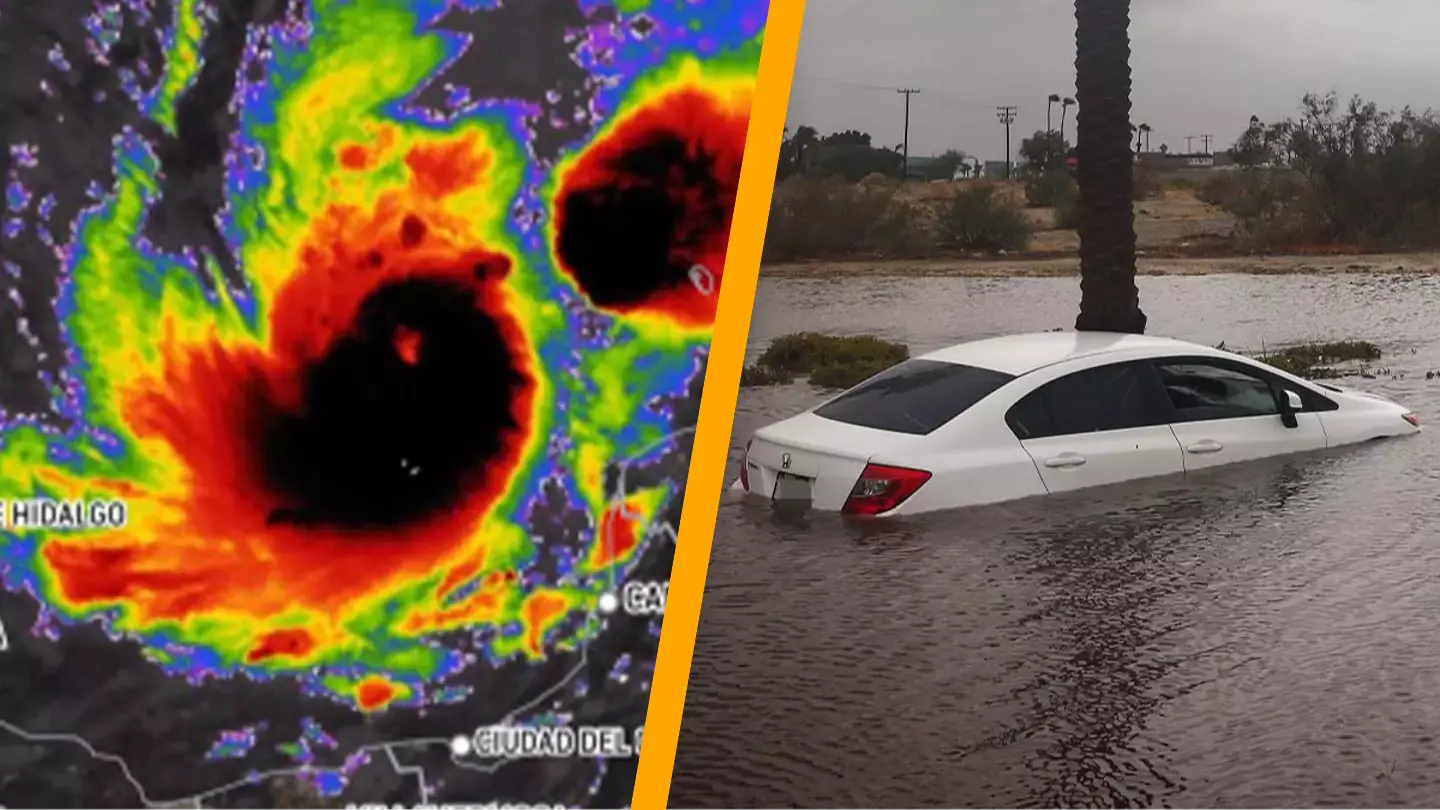
Urgent alerts have been issued after the US National Hurricane Center (NHC) announced that Hurricane Milton has intensified into a category five storm.
Just under two weeks after Hurricane Helene impacted Florida’s Big Bend, Hurricane Milton is approaching.
As of today (October 7), the hurricane has escalated to the highest category on the Saffir-Simpson Hurricane Wind Scale.
Category five indicates wind speeds of ‘157 mph or higher (252 km/h or higher)’ with the potential for ‘catastrophic damage’ to occur.
The NHC describes the effects: “A high percentage of framed homes will be destroyed, with total roof failure and wall collapse. Fallen trees and power poles will isolate residential areas. Power outages will last for weeks to possibly months. Most of the area will be uninhabitable for weeks or months.”
Nevertheless, the NHC and Central Pacific Hurricane Center caution: “The Saffir-Simpson Hurricane Wind Scale is a one to five rating based only on a hurricane’s maximum sustained wind speed. This scale does not take into account other potentially deadly hazards such as storm surge, rainfall flooding, and tornadoes.”
Hurricane Milton is forecasted to weaken to a category three by the time it reaches the west-central part of Florida’s Gulf Coast, making landfall at the Tampa Bay area initially on Wednesday evening (October 9) before moving over Orlando.

Even as a category three, ‘devastating damage will occur’ with winds ranging from ‘111-129 mph (178-208km/hr)’ resulting in ‘major damage or removal of roof decking and gable ends’ even to ‘well-built framed homes’.
“Many trees will be snapped or uprooted, blocking numerous roads. Electricity and water will be unavailable for several days to weeks after the storm passes. Unnamed hurricanes of 1909, 1910, 1929, 1933, 1945, and 1949 were all Category 3 storms when they struck South Florida, as were King of 1950, Betsy of 1965, Jeanne of 2004, and Irma of 2017,” the NHC cautions.
According to FOX Weather, Hurricane Milton’s storm surge is poised to be the most severe to hit the Tampa Bay area specifically in nearly a century, with certain areas expecting water levels to rise by up to 12 feet above ground level due to onshore winds.
The National Weather Service office in Tampa Bay advised: “Act now to complete preparations before the wind becomes hazardous.”
Residents across the state have been advised to evacuate, as Florida gears up for the most extensive evacuation since Hurricane Irma, with the state’s National Guard mobilizing 5,000 troops to assist in evacuations and planning to deploy an additional 3,000 before Wednesday.

