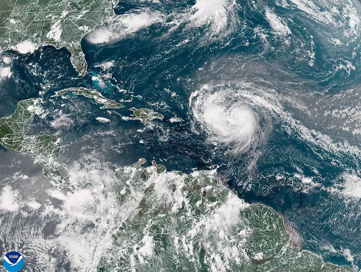
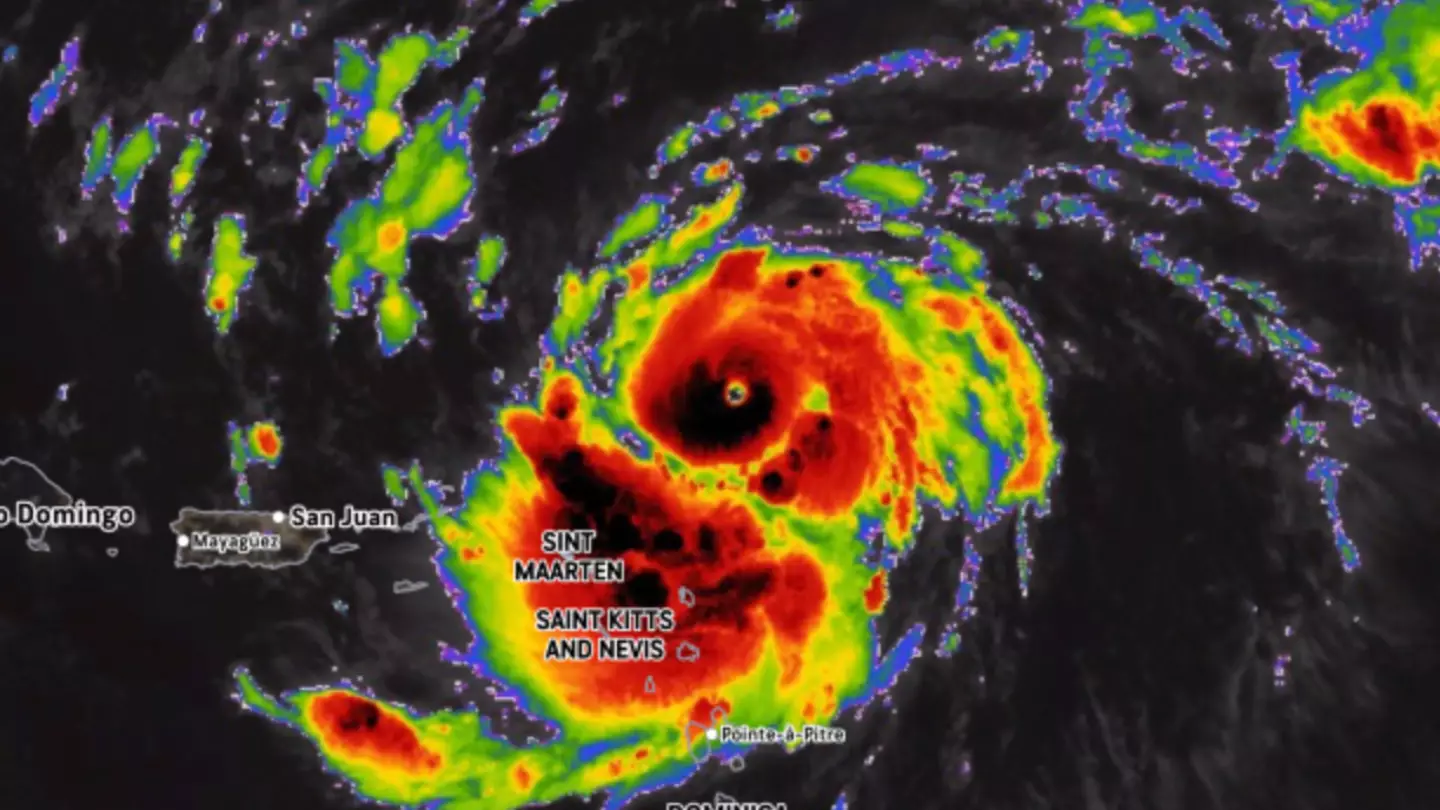
The hurricane season is now in full swing.
The Atlantic hurricane season spans from June 1 to November 30, and currently, Hurricane Erin is making its way towards the United States.
Initially a Category 1 hurricane with wind speeds of 75 mph, Hurricane Erin rapidly intensified to a rare Category 5 storm within 24 hours, according to reports from CNN. This categorization places it among only 43 Category 5 hurricanes ever recorded in the Atlantic.
According to the National Weather Service, Category 5 hurricanes are characterized by wind speeds ranging from 130 to 150 mph and can cause ‘catastrophic damage’.
“Well-built framed homes can sustain severe damage with loss of most of the roof structure and/or some exterior walls,” the service warns.
“Most trees will be snapped or uprooted and power poles downed. Fallen trees and power poles will isolate residential areas. Power outages will last weeks to possibly months. Most of the area will be uninhabitable for weeks or months.”
Due to the severity of the storm, the National Hurricane Center issued an urgent warning on Saturday, August 16.
A key message from the center stated: “Erin is expected to produce life-threatening surf and rip currents along the beaches of the Bahamas, much of the east coast of the US, and Atlantic Canada next week.”
Alex DaSilva, AccuWeather Lead Hurricane Expert, provided further insights on the situation.
“Erin is forecast to slowly curve to the north as it continues to strengthen over the weekend. At this time, the storm is forecast to remain hundreds of miles off the East Coast,” DaSilva explained.
“Beaches along the entire East Coast, from Florida to New England and Atlantic Canada, will likely experience rough surf and dangerous rip currents as Erin tracks north and eventually northeast,” he added.

AccuWeather indicates that areas projecting into the ocean, such as North Carolina’s Outer Banks, Long Island, New York, and Cape Cod, Massachusetts, are at the highest risk.
By early Sunday morning, August 17, the storm had decreased to a Category 3 but is expected to regain Category 5 intensity, as per CNN.
Unfortunately, Hurricane Erin is not the only significant storm anticipated to impact the United States in the upcoming months.
This season is expected to be ‘above average’ in terms of hurricane activity. Earlier this year, the National Oceanic and Atmospheric Administration (NOAA) projected that 2025 will see 13 to 19 named Atlantic storms, surpassing historical averages.

