

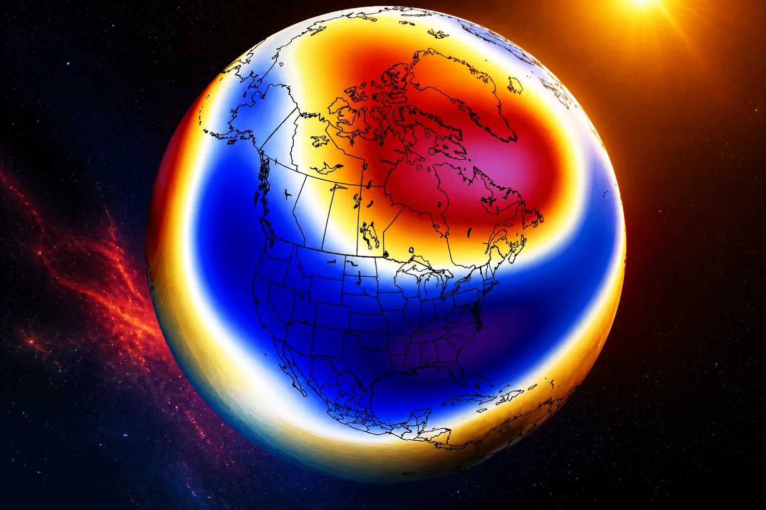
A brewing Pacific weather system now has a 70% chance of strengthening into a “Super El Niño” that could leave New York City facing a wetter, milder winter with less snow than usual.
AccuWeather senior meteorologist Carl Erickson said that full effects for the city likely will not arrive until later in the year. “Warmth may linger through September,” he said, with “brief shots of cooler air” expected to arrive in October.
Erickson continued that El Niño’s influence is expected to grow “by late fall and winter,” though it’s still too early to say exactly how snowfall will shake out.
“Some snow is possible by late October or November if a storm happens to coincide with enough cold air. But it is too early to predict any specific event,” he explained.
Once winter fully arrives, the picture gets murkier. Some forecasts suggest a season that stays mild overall but turns wetter, with El Niño historically capable of pushing extra precipitation toward the Atlantic Coast.
Data cited by CNN Weather puts New York’s odds of above-average precipitation between December and February at 50–60%, while the chances of above-average temperatures over the same stretch sit at 40–50%.
That combination could mean more rain and sleet than the classic snow-covered New York winter many residents expect.
El Niño events themselves aren’t rare — they crop up every few years whenever ocean temperatures across the equatorial Pacific climb above normal, triggering knock-on effects worldwide.
In a typical US pattern, the Southeast tends to see wetter, stormier and colder winters, large parts of the Midwest turn drier, and northern states often run warmer than usual.
The East Coast, meanwhile, tends to be the wild card, frequently seeing an uptick in rain and coastal storms tracking up from the South, according to the American Geosciences Institute.
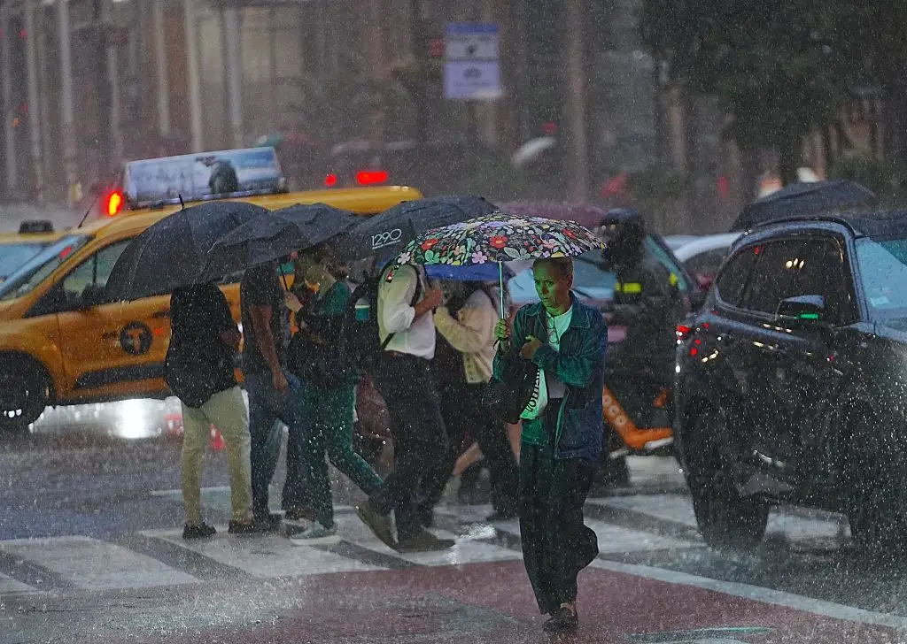
This year’s setup is already living up to that unpredictability. New York City has recorded more than eight inches of rain so far in August, making it the city’s wettest August in five years. The last time rainfall came close to those levels was in 2021, when the city saw more than ten inches over the same month.
Whether this winter brings a full-blown Super El Niño or a more moderate version, forecasters say the coming months are likely to look very different from the snow-heavy winters some New Yorkers are used to — with rain, rather than snow, potentially taking centre stage.