

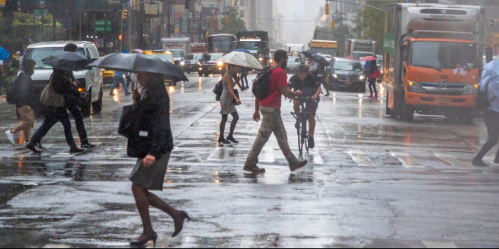
Millions of people across the East Coast and Ohio Valley could see more strong thunderstorms Friday through Sunday, bringing pockets of torrential rain and a risk of flash flooding after storms swamped parts of the Northeast earlier this week.
This includes the I-95 corridor from New York City to Washington, D.C.
With many areas already saturated from recent rainfall, flash flooding will once again become a concern.
This setup is funneling Atlantic moisture inland ahead of an approaching cold front, allowing showers and thunderstorms to develop across the eastern U.S.
Beginning Friday afternoon, a cold front will stretch from the Great Lakes into the central Plains.
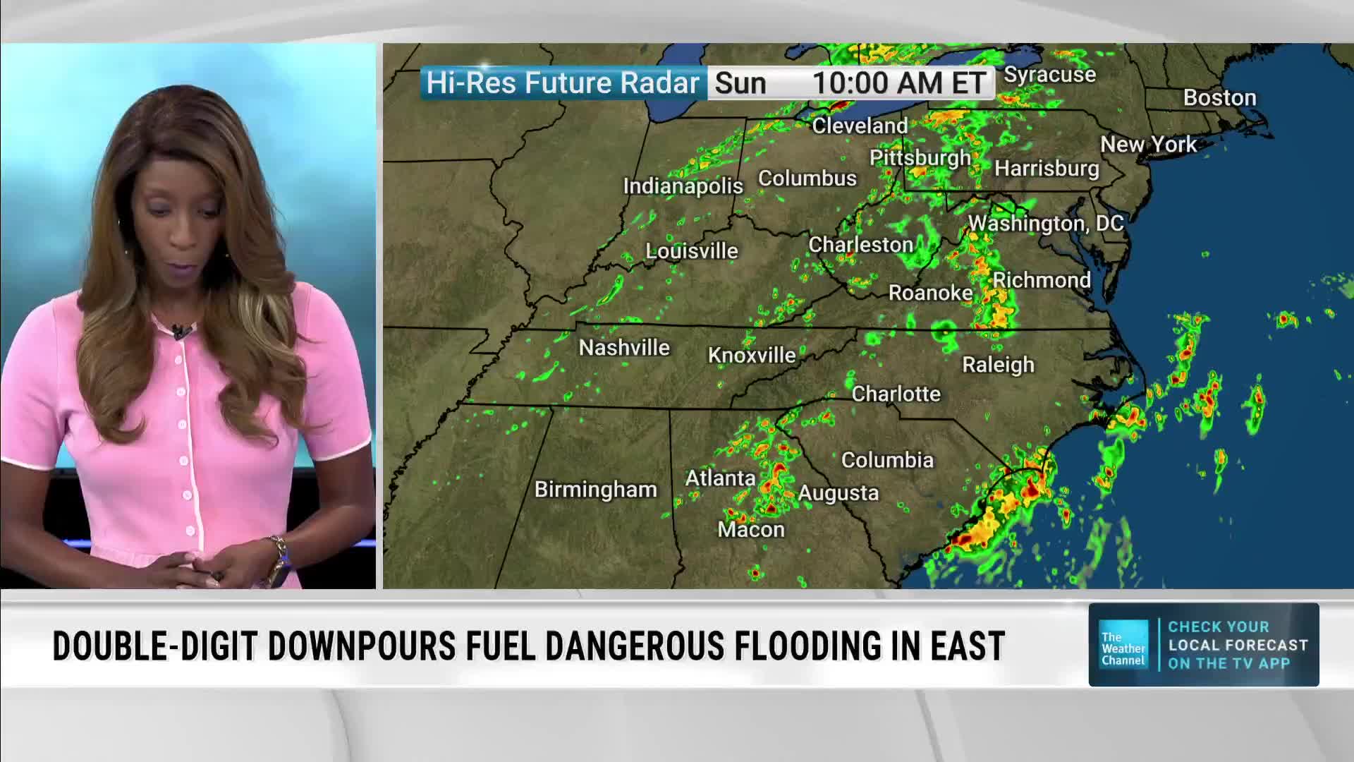
Rainfall rates could reach 2.5 inches per hour during the strongest storms.
“The steamy air sticking around will help provide fuel for the storms,” AccuWeather Chief On-Air Meteorologist Bernie Rayno said. “Weak fronts and the edges of high pressure will help focus the storms, allowing some to become severe or produce torrential downpours.”
A Level 1 out of 4 flash flood risk is in place across much of the Northeast, Ohio Valley and Southeast through Saturday, including major cities such as New York City, Washington, D.C., Charlotte, and Atlanta.
Heat alerts have been issued from Philadelphia to Boston, where heat index values could climb above 100 degrees in some locations.
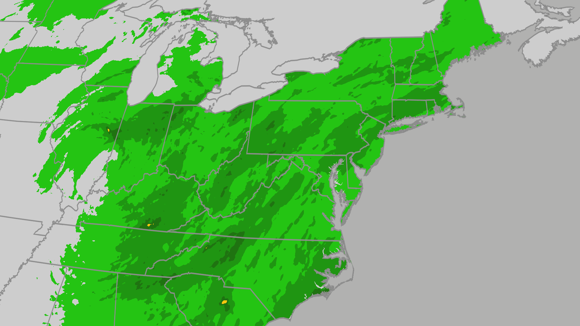
Residents across parts of the Northeast and Mid-Atlantic should expect widespread rainfall totals of 0.5 to 1 inch, with localized amounts of 1 to 2 inches or more where thunderstorms repeatedly track over the same locations through Saturday and Sunday.
The National Weather Service said some storms across the eastern US could become strong to marginally severe through Thursday evening, with damaging winds and hail as the main concerns.
Damaging wind gusts are expected to be the main threat.
Areas that miss out on the storms will instead contend with hot and humid conditions.
The New York City Emergency Management Department activated the city’s Flash Flood Emergency Plan on Sunday, which includes advanced inspection and clearing of catch basins in flood-prone areas, and task forces are also on alert to respond to fallen trees and stranded vehicles.
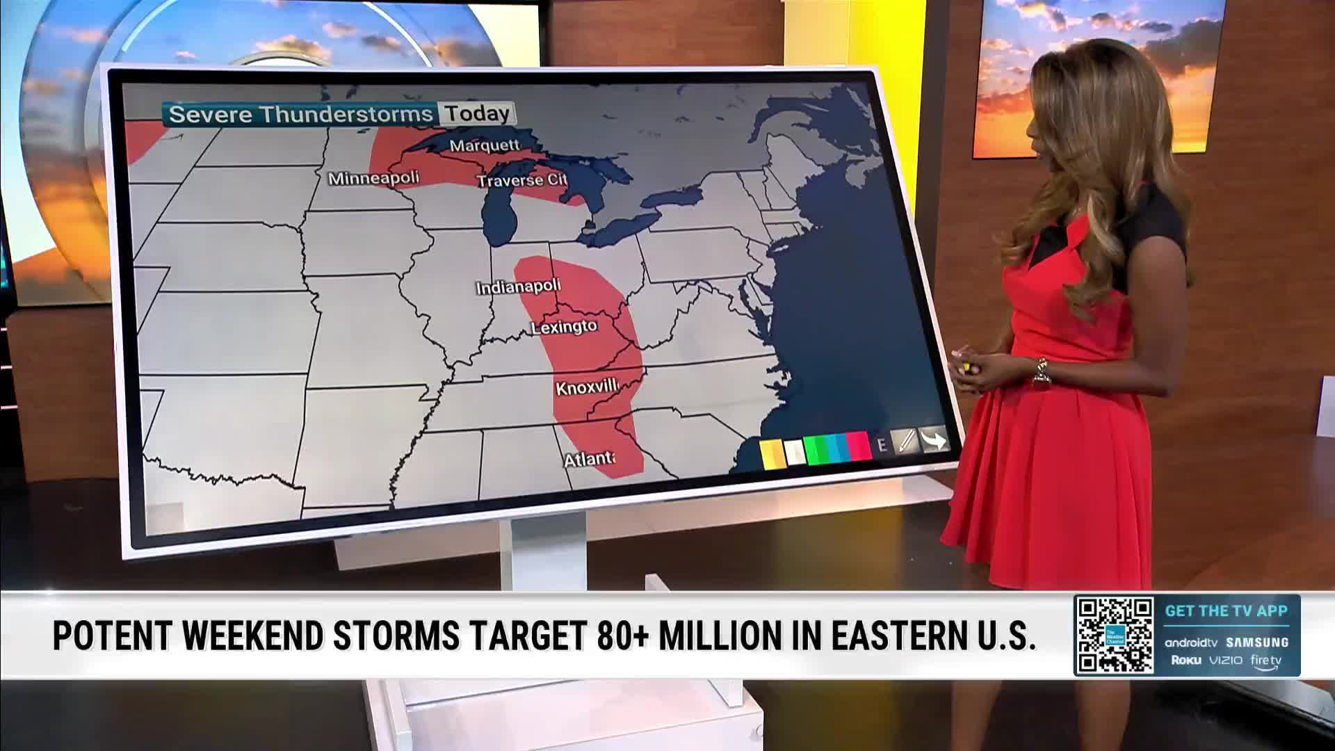
People in New York City, Philadelphia, Baltimore and Washington, D.C., all face a severe weather threat as the week comes to a close, with the main dangers being flash flooding and damaging wind gusts, with an AccuWeather Local StormMax wind gust of 70 mph.
A surge of moisture moving north along the East Coast will fuel showers, thunderstorms, flash flooding, and possible travel disruptions through Saturday, Aug. 8, according to AccuWeather.
The unsettled pattern will continue across parts of the eastern half of the country during the next several days, with another round of showers and thunderstorms possible Saturday, Aug. 8.
New York opened its cooling centers on Thursday as temperatures reached into the 90s.
Meteorologist Max Schuster, host of Max Velocity – Severe Weather Center, said the next several days could bring flash flooding from the central Plains into the Great Lakes, isolated severe thunderstorms in the Midwest, and a sharp expansion of heat across the Rockies and Plains.
Friday’s activity is expected to develop during the afternoon and evening, threatening the evening commute, outdoor events, and the start of weekend travel.
Slow-moving thunderstorms will dump inches of rain across parts of the central and eastern U.S. Through the week, raising the risk of flash flooding and travel delays.
Friday will be the last hot day for the East Coast, with numerous record highs likely for cities including Baltimore, Washington, New York, Philadelphia and Raleigh — where it reached 101 degrees Fahrenheit on Thursday.
Roughly 63 million people are at risk as heat and humidity fuel storms from the Mid-Atlantic to the Northeast, with major cities in the risk zone including New York, Philadelphia, Baltimore, Charlotte and Washington, D.C.
This above-average warmth combined with high humidity will lead to dangerous heat index values of 95 to 105 degrees, but temperatures are expected to cool off this weekend.
Isolated areas could see 3 to 5 inches of additional inches of rainfall, after already being soaked on Saturday.
Recurring rounds of heavy rain will be possible throughout the East and South, with localized totals of 1 to 3 inches, leading to flooding.
Because it’s moving so slowly, it has plenty of time to tap into deep tropical moisture and repeatedly drench the same communities.
Downpours could cause localized flash flooding, reduced visibility, slow travel, and locally gusty thunderstorms across the East Coast.
The moment driving this coverage stems from the historic rainfall that already inundated parts of the Northeast earlier this week.
The worst of the flash flooding has been in the Hudson Valley of upstate New York, generally from the Catskills to the Capital District to Saratoga Springs, where 5 to 10 inches of rain has fallen since Tuesday, with the highest total so far being 10.44 inches in Schodack, New York, which is the wettest day at any New York mesonet station since its inception in 2015.
There were numerous reports of water rescues, including in Hunter and Heartland Village, New York, as well as Milford, New Jersey.
In Columbia County, southeast of Albany, three were rescued from their home after its foundation gave way in the town of Greenport, and basement flooding was also reported in Germantown, Hudson, Stockport and Stuyvesant, according to the county 911 office.
Another round of showers and thunderstorms is possible Saturday, Aug. 8.