

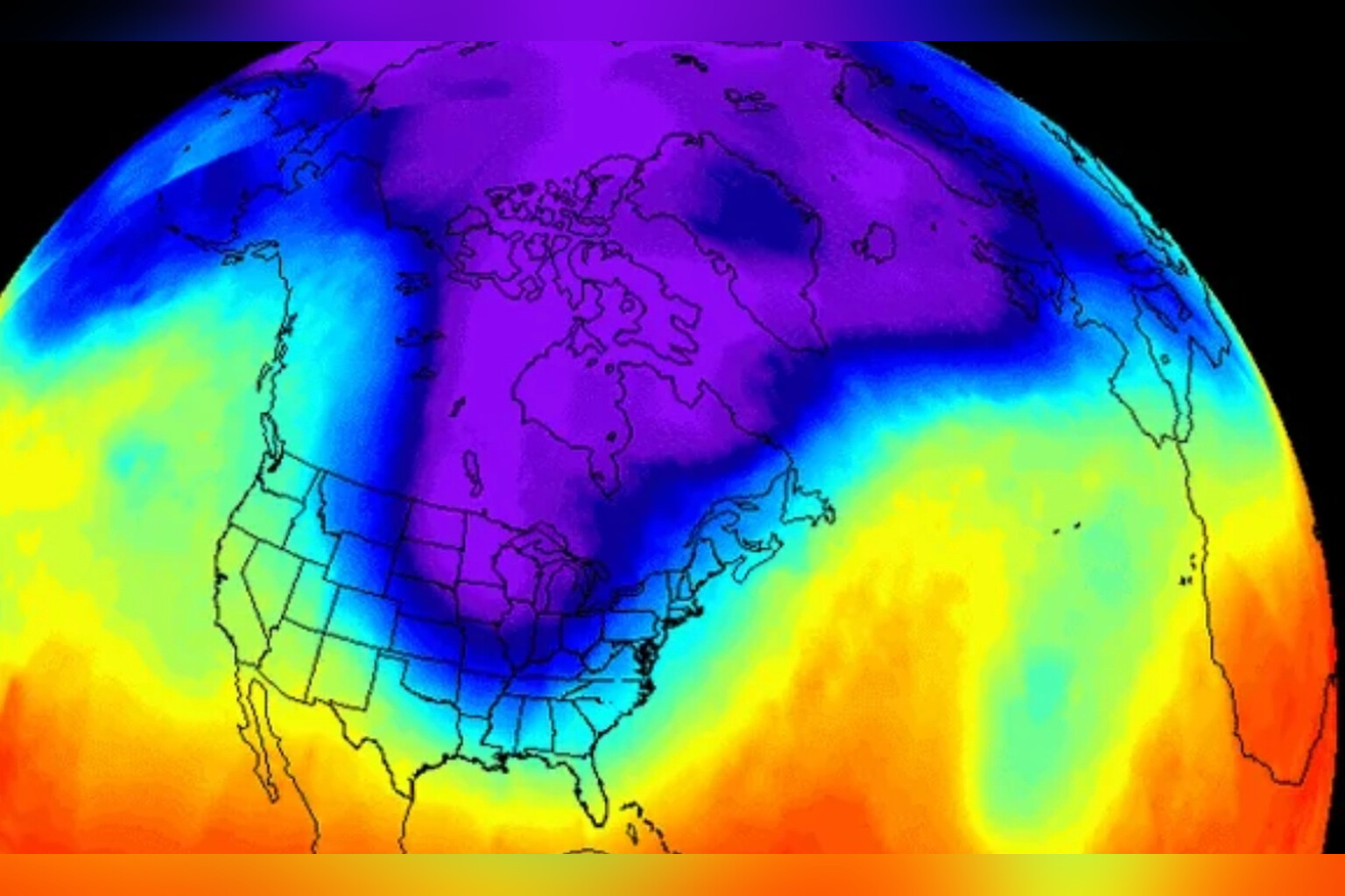
A meteorologist at the University of Reading has warned that an unprecedented early polar vortex split could leave Britain colder and drier this winter, threatening already depleted water supplies.
Professor Andrew Charlton-Perez, who researches Arctic stratospheric changes and their impact on UK weather, said the sudden stratospheric warming event now developing is unlike any observed in modern records. The polar vortex, a band of strong winds that normally traps frigid air near the North Pole, is splitting into two and pushing Arctic air toward Britain and Europe far earlier than usual.
“We’ve never seen anything like this before,” he said. “Our best records go back to 1979, when satellite observations began, and we have reasonable records back to the 1940s. In all that time, we haven’t seen a sudden stratospheric warming earlier than very late November.”
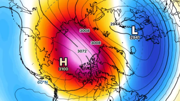
The vortex typically forms first before interacting with atmospheric waves rising from lower altitudes, which trigger these warming events. Charlton-Perez noted that this early disruption represents genuinely new territory. “Our records are relatively short and SSWs are still quite rare, only usually happening about once every two years, but this is certainly new territory from what we know,” he added.
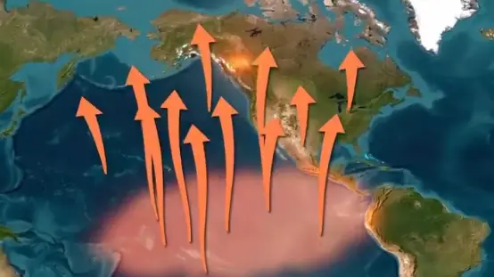
The phenomenon arises from temperature differences between the freezing Arctic and warmer southern regions, causing weather patterns to push upward and interfere with polar vortex winds. Temperatures high above the Arctic can then shift dramatically. This event also connects to the powerful El Niño currently underway in the Pacific, where rising sea-surface temperatures release substantial heat and energy that alter atmospheric circulation.
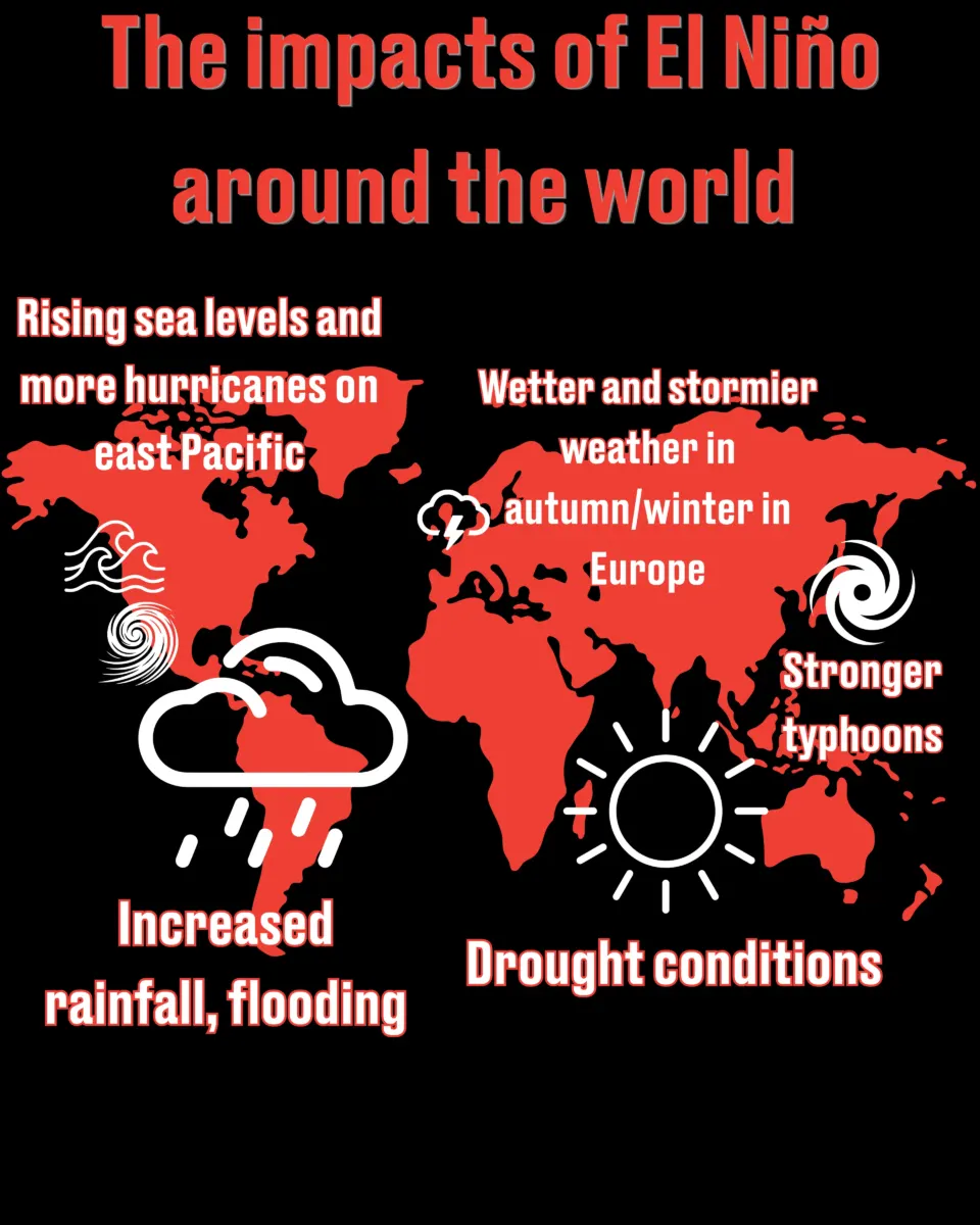
Charlton-Perez cautioned against linking the early warming directly to El Niño without further study. “It’s too early to say whether the current record strong El Niño event in the Pacific is the cause of this without more analysis,” he said. “El Niño usually weakens the vortex and can make an SSW more likely in late winter, during January or February. But the vortex was not unusually weak before this event began. It is still so early in the colder seasons for the northern hemisphere that the vortex hadn’t had much time to form or be impacted by the effects of El Niño.”
The timing matters for what Britons might actually experience. “An SSW normally means the UK is, on average, colder and drier, with more settled conditions and often blocking high pressure,” Charlton-Perez explained. “Because this is so early in the season, I think snow now in the UK is unlikely, and the forecasts don’t currently suggest it. There is still too much heat in the oceans, land and atmosphere left over from summer to make snow likely. Later in the winter, the link between an SSW and snowy weather would be stronger.”
The greater immediate concern may be prolonged dryness rather than cold. Severe drought persists across parts of Cornwall, Devon, Dorset, Somerset, and East and West Sussex following a record-breaking hot summer. Charlton-Perez stressed that water resources in some regions remain critically low. “Perhaps a bigger concern would be a long dry spell,” he said. “Our water resources in some parts of the UK are very low after an exceptionally dry and warm summer. Some parts of the UK are still in drought or even severe drought, and we need more than 120 percent of our usual rainfall every month over the winter to come out of it.”
The implications extend into next year if reservoirs fail to replenish. “If this event or other SSW events during winter bring prolonged periods of dry weather, it could stop our reservoirs from refilling over the winter,” Charlton-Perez warned. “That could have extremely significant impacts on water supplies for homes, businesses and farmers next summer.”
Scientists have described the early vortex collapse as marking the earliest sudden stratospheric warming ever recorded in modern observational history, though exactly how the winter will unfold remains uncertain.