

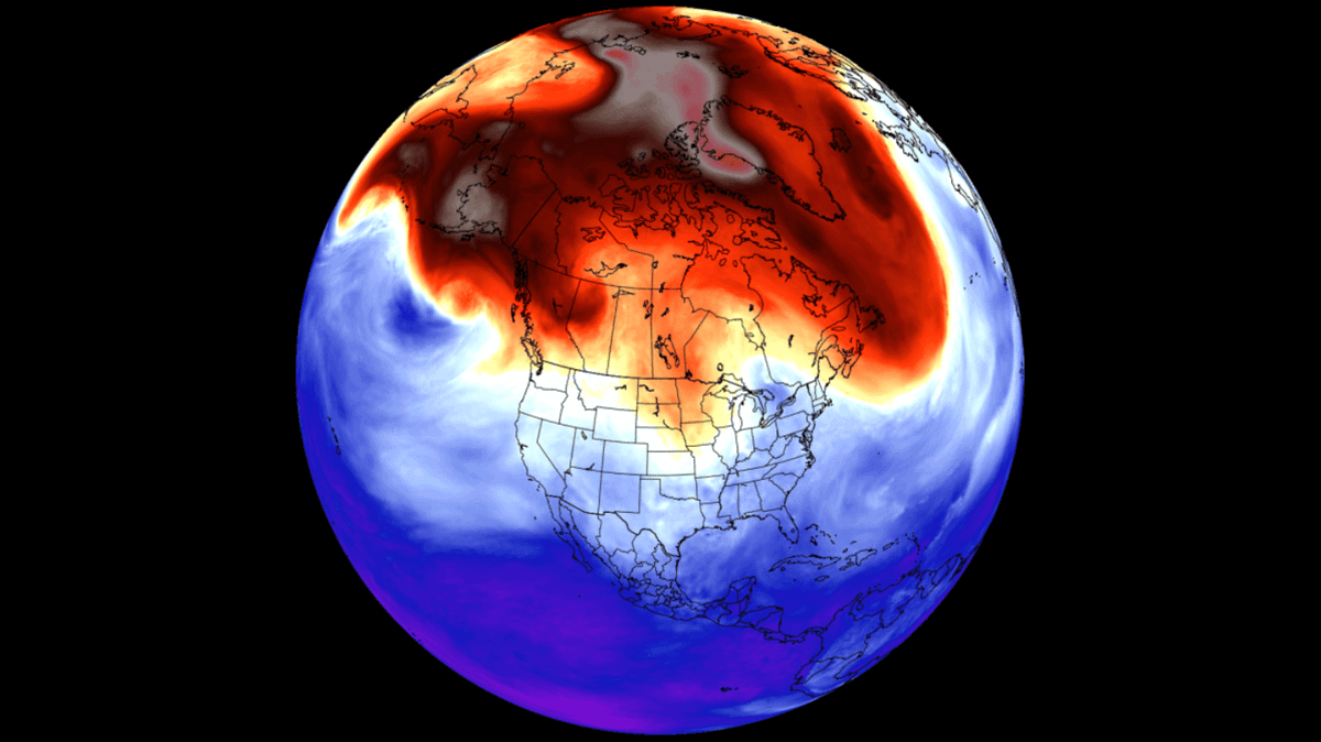
Forecasts are increasingly pointing toward the possibility of a super El Niño, and specialists say it could develop as soon as mid-to-late 2026 — with some regions expected to feel the effects more than others.
First, what is El Niño? It’s a recurring climate pattern that occurs when sea surface temperatures in the central and eastern Pacific rise above average. That warming can disrupt typical wind and weather patterns worldwide, raising the chances of unusual or extreme conditions in certain locations.
“Super El Niño” isn’t a formal scientific label, but it’s commonly used to describe especially intense events. NOAA notes it’s often applied when Pacific waters near the equator run about 3.6 degrees Fahrenheit above normal.
Right now, NOAA puts the odds of an El Niño forming in July 2026 at over 80%. These events often persist for 12 to 18 months, and the National Oceanic and Atmospheric Administration says the likelihood is very high that it would continue into winter, from December through February.
While higher temperatures are expected broadly, TODAY weatherman Al Roker and NBC News senior meteorologist and producer Kathryn Prociv told the outlet which parts of the US could see the greatest impacts.
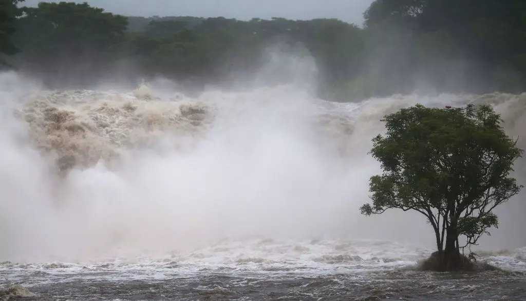
Based on what has happened in previous El Niño events, the experts say the West Coast is often among the areas hit hardest.
“It usually means a more active Pacific hurricane season,” Prociv told the outlet. “Alarm bells are going off already for Hawaii.”
During the most recent El Niño in 2023, Hurricane Hillary affected parts of Mexico as well as Arizona, Nevada, Utah, and Southern California.
For people on the East Coast, Roker said it “looks like it means a below-average hurricane season.” Even so, he cautioned: “You only need one to be catastrophic.”
In the South, residents may also want to be prepared for an uptick in storm activity, if historical El Niño patterns repeat.
“The subtropical jet stream is like a storm highway, and (El Niño) really energizes it and gets it going,” Provic told the outlet.
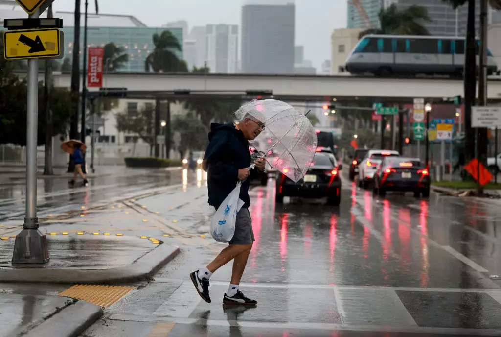
Florida could also be in for a soggy stretch. Roker suggested people there may want backup indoor plans, saying conditions are ‘looking really wet into fall and winter’.
More broadly, hotter temperatures are expected to influence much of the country, with global summer temperatures projected to climb — whether tied directly to El Niño or part of wider warming trends.
Experts elsewhere have also flagged potential knock-on impacts from extreme weather, including risks to food production, flooding threats, coral reef damage, and heightened fire danger, all of which can carry serious health consequences.
Roker added that different parts of the US could experience these effects at different times, and noted that if ‘it doesn’t happen,’ the climate unit will be just as happy as everybody else’. Still, he said they believe at least some impacts from these conditions are likely.