

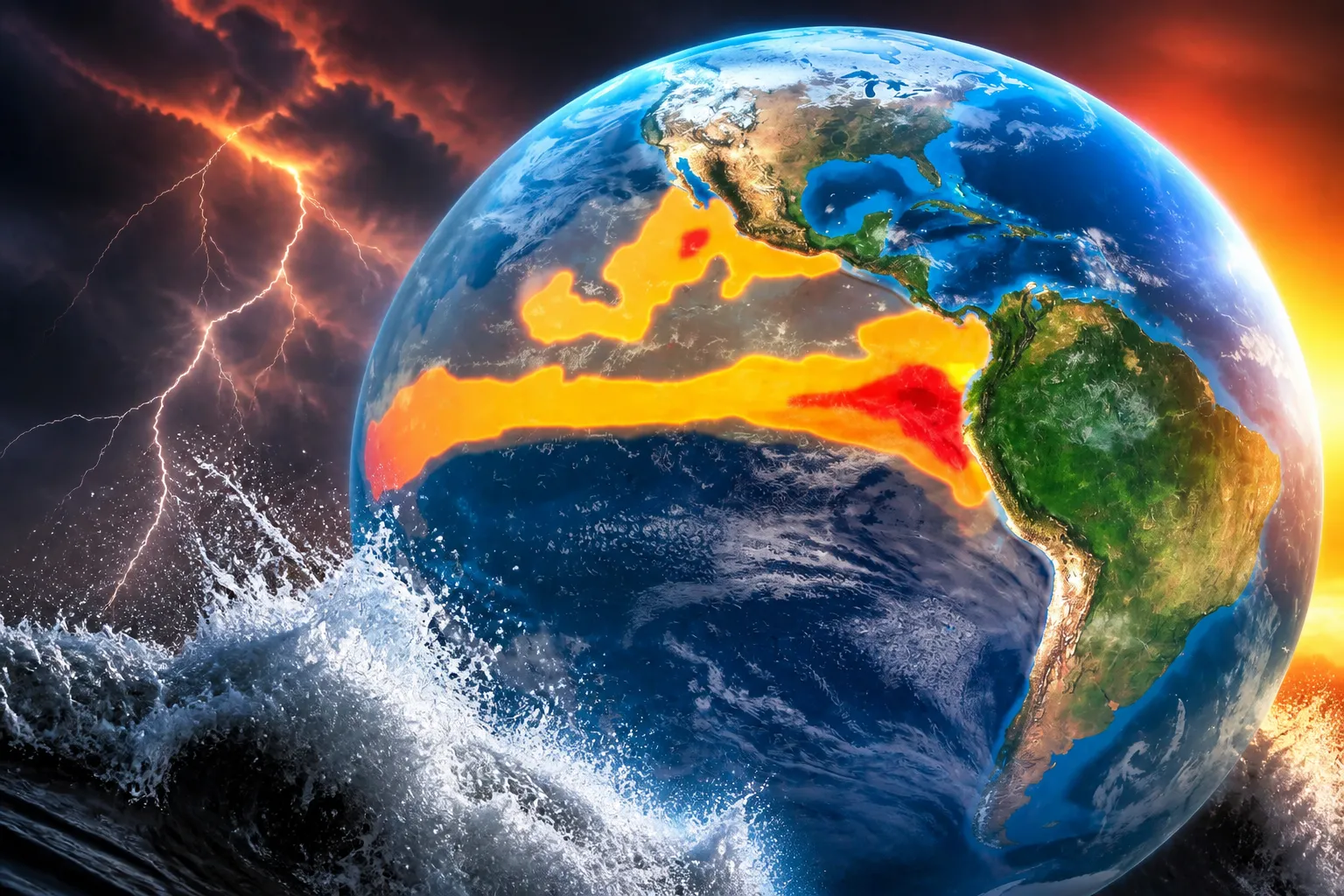
NOAA has raised the odds of a record-breaking “super El Niño” to 69 percent, warning the 2026-27 event could become the strongest observed since modern tracking began in 1950.
The National Oceanic and Atmospheric Administration’s Climate Prediction Center issued the upgraded forecast in its August 13 diagnostic discussion, building on a July 9 report that had already pushed very-strong El Niño odds to 81 percent for the October-December peak window. The new figures put the probability of the event exceeding every El Niño in the 75-year record at better than two-in-three, with persistence through early spring 2027 now considered virtually certain at 97 percent.

The numbers represent a dramatic escalation from just two months earlier. In June, NOAA had estimated only a 63 percent chance of very-strong conditions for the November-January period. By July, the weekly Niño-3.4 index had jumped from +1.2°C to +1.8°C, with subsurface heat approaching levels last seen before the record 1997-98 event. European Centre for Medium-Range Weather Forecasts models have projected central Pacific anomalies reaching between 3 and 4°C, territory that would place this El Niño in uncharted territory.
The outlet, quoting NOAA directly, called the developing event “likely one of the strongest in more than 75 years.” The agency itself has been measured in its public statements, noting that “even the strongest El Niño events do not lead to the typical impact everywhere, but stronger events can more significantly tilt the odds in favor of expected outcomes.”
For the United States, those tilted odds carry concrete winter implications. The southern tier of the country historically sees wetter, cooler, and more turbulent conditions during strong El Niño years, while the northern tier trends warmer and drier. The southeastern states and southern plains face elevated chances of freezing rain and sleet, with Florida at particular risk for winter thunderstorms. Southern California could see above-average rainfall, with the Los Angeles Times reporting that flash floods and landslides are already on the National Weather Service’s radar for the coming winter.
The Pacific Northwest and northern Rockies typically suffer the inverse: milder, drier winters with diminished snowpack. The El Niño Tracker consensus puts the probability of a warmer-and-drier Pacific Northwest winter at roughly 70 percent, with potential carryover into the 2026 fire season. Coastal communities on both oceans face additional threats, as strong El Niños temporarily raise sea levels along the West Coast and shift the jet stream to steer more nor’easters and coastal storms into the mid-Atlantic.
UCLA climate scientist Daniel Swain and colleagues have identified another specific California concern. Their research found that seven of eight modeled “ARkStorm” scenarios — the catastrophic multi-week atmospheric river events capable of flooding the Central Valley — occurred during moderate-to-strong El Niño years. The independent El Niño Tracker currently estimates roughly 50 percent odds of a major California atmospheric river damage event between January and March 2027.
The Atlantic hurricane season may see a partial offset. Increased wind shear from El Niño has already prompted Colorado State University to drop its 2026 forecast to “well below normal.” But forecasters caution that reduced seasonal activity does not eliminate individual storm risk, particularly for slow-moving systems parked over saturated watersheds.
Globally, the event is drawing comparisons to the devastating 1876-78 El Niño, one of the strongest in 140 years of observations and a primary driver of a global famine that killed an estimated 50 million people. Some models have forecast the Oceanic Niño Index crossing 3°C, a level reached only once before in January 1878 according to NOAA data analyzed by Down To Earth. The 2026 event differs critically in context: it is occurring after the planet has already warmed approximately 1.4°C since the pre-industrial period, with the previous El Niño of 2023-24 having helped make 2024 the hottest year on record per the World Meteorological Organization.
University at Albany atmospheric science professor Paul Roundy described the potential El Niño as “the strongest in 140 years of observations,” speaking to European climate model projections showing Pacific temperatures potentially rising 4.5 to 5.4 degrees Fahrenheit above normal. That March assessment, reported by Factum Media, came as a rare triple formation of tropical cyclones accelerated westerly winds along the equator — the same mechanism that pushes warm water eastward and deepens El Niño formation. Subsurface waters were already running warmer than normal, with scientists monitoring the Pacific calling the early-stage pattern among the most concerning they had observed.
The Philippines-based fisherfolk leader Rosemarie Reyes, speaking at a Greenpeace Philippines press conference covered by the Odette Case project, described how rising temperatures connected to El Niño cycles affect daily survival: “As a single parent…I feel the intensity of the heat every day as I try to earn a living for my family. During extreme heat, I have fewer hours to sell fish on the streets. Beyond that, my family’s health is also put at risk.”
NOAA’s next monthly ENSO Diagnostic Discussion is scheduled for release in mid-September.