

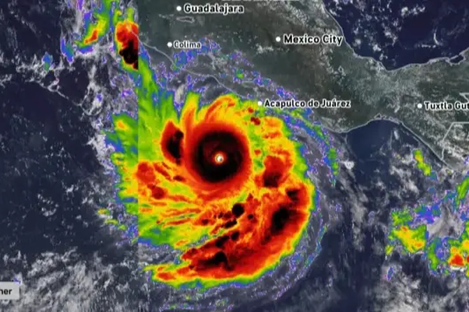
The UK government has issued an urgent travel warning as Hurricane Polo intensifies off Mexico’s southwestern coast, fueled by a record-shattering El Niño event that experts have dubbed “Godzilla-level.”
The alert, posted on GOV.UK, targets British travelers in Guerrero, Michoacan and Oaxaca states, where the storm is already delivering heavy rainfall expected to persist through the week of September 21. “Heavy rain is expected to continue during the week of 21 September, and may cause life-threatening flooding and landslides,” the warning stated. “A hurricane warning is in place.”
The government advisory urged travelers to monitor updates from the US National Hurricane Center and Mexican Meteorological Service, and to follow guidance from local authorities and tour operators.
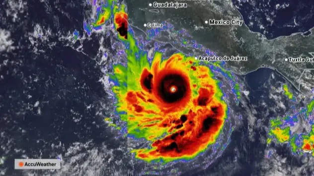
The US Embassy in Mexico issued its own parallel warning, emphasizing dangers beyond direct landfall. “Even if the storm does not make direct landfall, heavy rain may produce life-threatening flooding and mudslides,” the embassy posted. “Hazardous ocean conditions—intensified by storms—may result in deadly rip currents and rogue waves.”
The embassy’s message carried blunt instructions for those in affected areas: “Avoid entering the water or walking on beaches during dangerous conditions, heed warnings from local authorities, and monitor official weather updates closely.”
Hurricane Polo reached Category 5 strength on Tuesday, September 22, with maximum sustained winds nearing 165mph—a staggering escalation from its origins as a 40mph tropical storm. The storm’s explosive intensification traces directly to the El Niño phenomenon currently dominating Pacific waters.
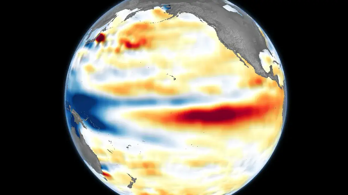
Philip Klotzbach, a research scientist at Colorado State University’s Department of Atmospheric Science, said that the meteorological setup has created ideal conditions for rapid strengthening. “The warmer waters and changed wind patterns in the Pacific ‘are all the ingredients that hurricanes need to get really strong really fast’,” he explained.
Forecasters project Polo will execute a sharp turn toward the west-northwest or northwest by late Tuesday, keeping its core offshore. That trajectory offers limited comfort, given the storm’s capacity to generate lethal flooding and coastal hazards without a direct hit.
The El Niño driving Polo’s power has already broken historical benchmarks. Professor Adam Scaife, head of long-range prediction at the UK’s Met Office, said the phenomenon has “already exceeded previous records, with several weeks to go before it peaks later this year.”
“We have been signalling for months that the developing El Niño will be an unprecedented event,” Scaife said. “The fact that it has already exceeded previous records, with several weeks to go before it peaks later this year, shows the enormity of this El Niño.”
Scaife noted that scientists remain uncertain whether impacts will scale proportionally with the event’s magnitude, but added: “We are already seeing expected effects worldwide.”
The current El Niño has developed alongside human-caused climate change, primarily driven by fossil fuel combustion for power, heating, transport and industry. That combination is expected to push global temperatures to new record levels by 2027.
Paradoxically, the developing El Niño had suppressed Atlantic hurricane activity through much of the season, setting a 60-year record for the longest stretch without a hurricane. That lull now appears to be ending with potentially severe consequences.
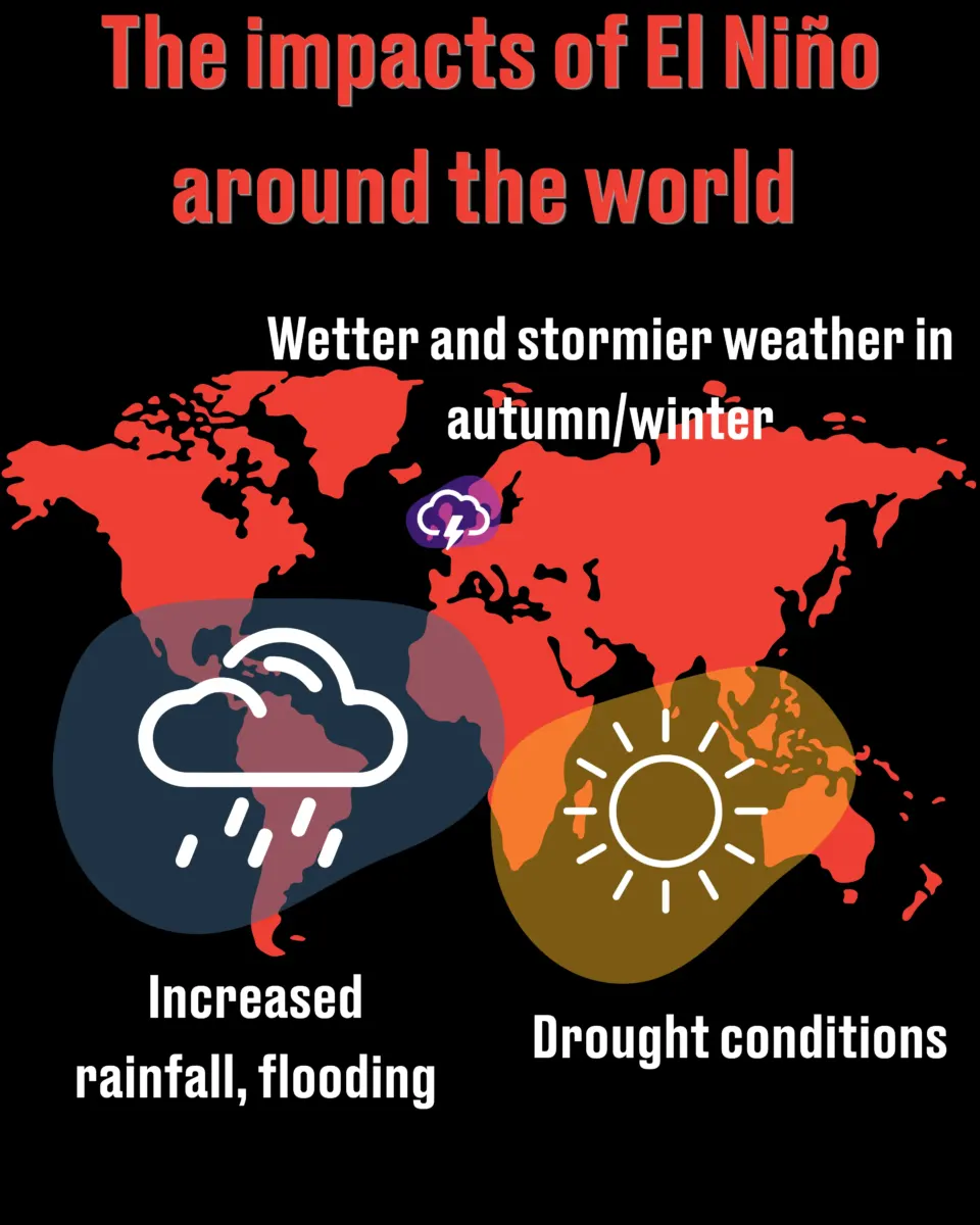
Beyond the immediate threat in Mexico, the Met Office projects cascading global effects. Southern Africa and northeast Australia face heightened drought risk, while northwestern Europe—including the UK—should brace for wetter, stormier conditions through autumn and early winter. British winters tied to late-season El Niño events also carry elevated cold snap risk.
The phenomenon’s reach extends to agriculture, water resources, energy demand, wildfire risk and ecosystems worldwide, with certain food items already flagged for potential price increases.
The UK Foreign Office continues to update its travel guidance as Hurricane Polo tracks west-northwestward through the eastern Pacific.